Distance to Lamb, Illinois

Calculating Your Route
Just a moment while we process your request...
Location Information
-
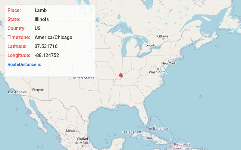
Full AddressLamb, IL 62919
-
Coordinates37.5317155, -88.1247523
-
LocationLamb , Illinois , US
-
TimezoneAmerica/Chicago
-
Current Local Time1:48:36 AM America/ChicagoMonday, June 2, 2025
-
Page Views0
About Lamb
Lamb is an unincorporated community in Hardin County, Illinois, United States. Lamb is northeast of Cave-in-Rock.
Nearby Places
Found 10 places within 50 miles

Dekoven
4.1 mi
6.6 km
Dekoven, KY 42459
Get directions

Cave-In-Rock
4.9 mi
7.9 km
Cave-In-Rock, IL 62919
Get directions
Peters Creek
7.1 mi
11.4 km
Peters Creek, McFarlan Precinct, IL 62931
Get directions

Sturgis
7.8 mi
12.6 km
Sturgis, KY 42459
Get directions
Tolu
9.5 mi
15.3 km
Tolu, KY 42064
Get directions

Old Shawneetown
11.4 mi
18.3 km
Old Shawneetown, IL 62984
Get directions

Elizabethtown
11.5 mi
18.5 km
Elizabethtown, IL 62931
Get directions

Shawneetown
13.0 mi
20.9 km
Shawneetown, IL 62984
Get directions
Derby
13.2 mi
21.2 km
Derby, KY 42404
Get directions
Virginia
13.6 mi
21.9 km
Virginia, KY 42404
Get directions
Location Links
Local Weather
Weather Information
Coming soon!
Location Map
Static map view of Lamb, Illinois
Browse Places by Distance
Places within specific distances from Lamb
Short Distances
Long Distances
Click any distance to see all places within that range from Lamb. Distances shown in miles (1 mile ≈ 1.61 kilometers).