Distance to Lambert, South Carolina

Calculating Your Route
Just a moment while we process your request...
Location Information
-
Full AddressLambert, SC 29510
-
Coordinates33.3260004, -79.5722883
-
LocationSouth Carolina , US
-
TimezoneAmerica/New_York
-
Current Local Time5:17:43 AM America/New_YorkWednesday, June 18, 2025
-
Page Views0
Nearby Places
Found 10 places within 50 miles

Oceda
4.1 mi
6.6 km
Oceda, SC 29510
Get directions
Lodge Hall
5.7 mi
9.2 km
Lodge Hall, SC 29440
Get directions
Palmerville
6.6 mi
10.6 km
Palmerville, SC 29453
Get directions

Jamestown
7.5 mi
12.1 km
Jamestown, SC 29453
Get directions

Andrews
8.7 mi
14.0 km
Andrews, SC 29510
Get directions
Puncheon Creek
8.8 mi
14.2 km
Puncheon Creek, SC 29510
Get directions
Beufordtown
10.3 mi
16.6 km
Beufordtown, SC 29453
Get directions

North Santee
13.1 mi
21.1 km
North Santee, SC 29440
Get directions
Bethera
15.1 mi
24.3 km
Bethera, SC 29434
Get directions

Georgetown
16.4 mi
26.4 km
Georgetown, SC 29440
Get directions
Location Links
Local Weather
Weather Information
Coming soon!
Location Map
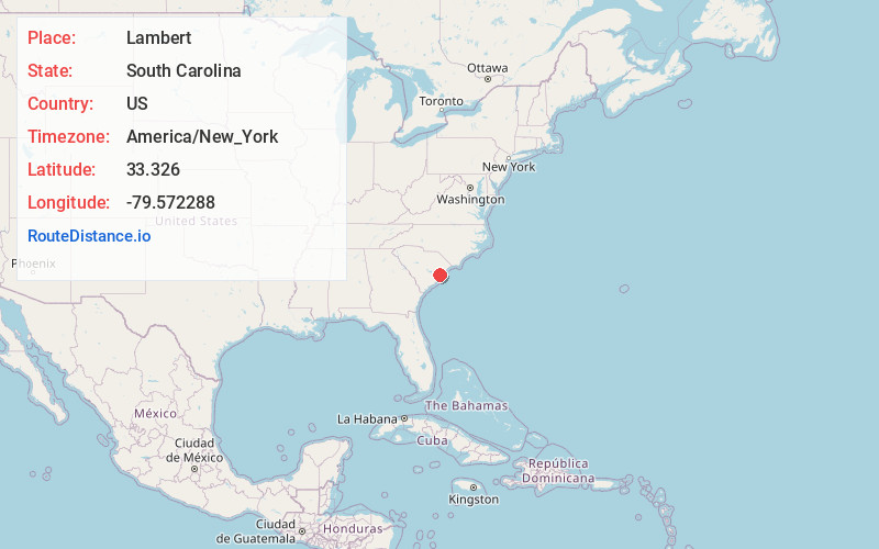
Static map view of Lambert, South Carolina
Browse Places by Distance
Places within specific distances from Lambert
Short Distances
Long Distances
Click any distance to see all places within that range from Lambert. Distances shown in miles (1 mile ≈ 1.61 kilometers).