Distance to Lodge Hall, South Carolina

Calculating Your Route
Just a moment while we process your request...
Location Information
-
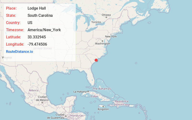
Full AddressLodge Hall, SC 29440
-
Coordinates33.332945, -79.4745061
-
LocationSouth Carolina , US
-
TimezoneAmerica/New_York
-
Current Local Time12:38:30 AM America/New_YorkWednesday, June 18, 2025
-
Page Views0
Nearby Places
Found 10 places within 50 miles

North Santee
9.1 mi
14.6 km
North Santee, SC 29440
Get directions

Oceda
9.5 mi
15.3 km
Oceda, SC 29510
Get directions

Andrews
9.6 mi
15.4 km
Andrews, SC 29510
Get directions

Georgetown
10.8 mi
17.4 km
Georgetown, SC 29440
Get directions

Jamestown
13.0 mi
20.9 km
Jamestown, SC 29453
Get directions
Lanes Creek
13.2 mi
21.2 km
Lanes Creek, SC 29440
Get directions
Dunbar
15.6 mi
25.1 km
Dunbar, SC 29440
Get directions

McClellanville
17.0 mi
27.4 km
McClellanville, SC 29458
Get directions
Waverly Mills
21.2 mi
34.1 km
Waverly Mills, SC 29585
Get directions

Pawleys Island
21.5 mi
34.6 km
Pawleys Island, SC
Get directions
Location Links
Local Weather
Weather Information
Coming soon!
Location Map
Static map view of Lodge Hall, South Carolina
Browse Places by Distance
Places within specific distances from Lodge Hall
Short Distances
Long Distances
Click any distance to see all places within that range from Lodge Hall. Distances shown in miles (1 mile ≈ 1.61 kilometers).