Distance to Langdon, Missouri

Calculating Your Route
Just a moment while we process your request...
Location Information
-
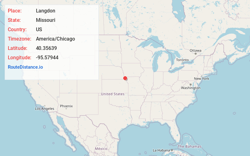
Full AddressLangdon, MO 64446
-
Coordinates40.35639, -95.57944
-
LocationLangdon , Missouri , US
-
TimezoneAmerica/Chicago
-
Current Local Time9:31:14 PM America/ChicagoWednesday, June 18, 2025
-
Page Views0
About Langdon
Langdon is an unincorporated community in Atchison County, Missouri, United States. It is located about six miles southwest of Rock Port. Its post office has closed and mail is now delivered through Fairfax.
Nearby Places
Found 10 places within 50 miles

Phelps City
3.4 mi
5.5 km
Phelps City, MO 64482
Get directions

Rock Port
5.0 mi
8.0 km
Rock Port, MO 64482
Get directions

Brownville
5.0 mi
8.0 km
Brownville, NE 68321
Get directions

Nemaha
5.1 mi
8.2 km
Nemaha, NE 68414
Get directions
Watson
8.6 mi
13.8 km
Watson, MO 64496
Get directions
Barada
9.5 mi
15.3 km
Barada, NE 68355
Get directions

Fairfax
9.9 mi
15.9 km
Fairfax, MO 64446
Get directions

Shubert
9.9 mi
15.9 km
Shubert, NE 68437
Get directions
Corning
10.0 mi
16.1 km
Corning, MO 64437
Get directions

Peru
11.5 mi
18.5 km
Peru, NE 68421
Get directions
Location Links
Local Weather
Weather Information
Coming soon!
Location Map
Static map view of Langdon, Missouri
Browse Places by Distance
Places within specific distances from Langdon
Short Distances
Long Distances
Click any distance to see all places within that range from Langdon. Distances shown in miles (1 mile ≈ 1.61 kilometers).