Distance to Watson, Missouri

Calculating Your Route
Just a moment while we process your request...
Location Information
-
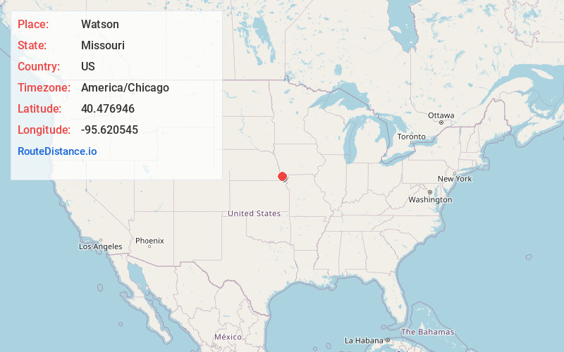
Full AddressWatson, MO 64496
-
Coordinates40.4769464, -95.6205448
-
LocationWatson , Missouri , US
-
TimezoneAmerica/Chicago
-
Current Local Time3:35:08 PM America/ChicagoWednesday, June 18, 2025
-
Page Views0
About Watson
Watson is a village in Nishnabotna Township, Atchison County, Missouri, United States. The population was 61 at the 2020 census. It is the westernmost settlement in the state of Missouri, about 120 miles northwest of Kansas City.
Nearby Places
Found 10 places within 50 miles

Brownville
5.8 mi
9.3 km
Brownville, NE 68321
Get directions

Peru
5.9 mi
9.5 km
Peru, NE 68421
Get directions

Rock Port
7.1 mi
11.4 km
Rock Port, MO 64482
Get directions

Hamburg
9.0 mi
14.5 km
Hamburg, IA 51640
Get directions

Nemaha
10.0 mi
16.1 km
Nemaha, NE 68414
Get directions

Auburn
12.5 mi
20.1 km
Auburn, NE 68305
Get directions

Tarkio
13.0 mi
20.9 km
Tarkio, MO 64491
Get directions

Riverton
14.8 mi
23.8 km
Riverton, IA 51650
Get directions

Fairfax
15.3 mi
24.6 km
Fairfax, MO 64446
Get directions

Westboro
16.3 mi
26.2 km
Westboro, MO 64498
Get directions
Location Links
Local Weather
Weather Information
Coming soon!
Location Map
Static map view of Watson, Missouri
Browse Places by Distance
Places within specific distances from Watson
Short Distances
Long Distances
Click any distance to see all places within that range from Watson. Distances shown in miles (1 mile ≈ 1.61 kilometers).