Distance to Larabee, California

Calculating Your Route
Just a moment while we process your request...
Location Information
-
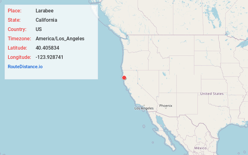
Full AddressLarabee, CA 95569
-
Coordinates40.405834, -123.928741
-
LocationLarabee , California , US
-
TimezoneAmerica/Los_Angeles
-
Current Local Time5:25:49 AM America/Los_AngelesThursday, June 5, 2025
-
Page Views0
About Larabee
Larabee is a locality in Humboldt County, California. It is located on the Northwestern Pacific Railroad 1 mile east-northeast of Redcrest, at an elevation of 161 feet.
Nearby Places
Found 10 places within 50 miles

Redcrest
1.2 mi
1.9 km
Redcrest, CA 95569
Get directions

Shively
2.8 mi
4.5 km
Shively, CA 95565
Get directions

Pepperwood
4.2 mi
6.8 km
Pepperwood, CA 95565
Get directions

Weott
5.8 mi
9.3 km
Weott, CA 95571
Get directions
Maple Grove
6.5 mi
10.5 km
Maple Grove, CA 95528
Get directions
Burlington
6.8 mi
10.9 km
Burlington, CA 95554
Get directions
Bull Creek
7.1 mi
11.4 km
Bull Creek, CA 95545
Get directions
McCann
7.5 mi
12.1 km
McCann, CA 95554
Get directions

Bridgeville
8.1 mi
13.0 km
Bridgeville, CA
Get directions
Fruitland
9.3 mi
15.0 km
Fruitland, CA 95554
Get directions
Location Links
Local Weather
Weather Information
Coming soon!
Location Map
Static map view of Larabee, California
Browse Places by Distance
Places within specific distances from Larabee
Short Distances
Long Distances
Click any distance to see all places within that range from Larabee. Distances shown in miles (1 mile ≈ 1.61 kilometers).