Distance to Laurel Bloomery, Tennessee

Calculating Your Route
Just a moment while we process your request...
Location Information
-
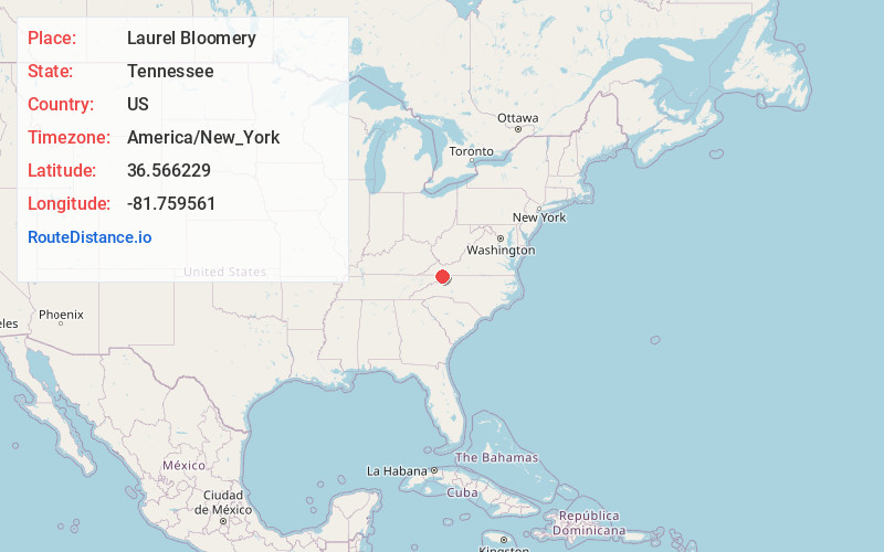
Full AddressLaurel Bloomery, TN 37680
-
Coordinates36.566229, -81.759561
-
LocationLaurel Bloomery , Tennessee , US
-
TimezoneAmerica/New_York
-
Current Local Time5:02:01 AM America/New_YorkSunday, June 15, 2025
-
Page Views0
About Laurel Bloomery
Laurel Bloomery is an unincorporated community in Johnson County, Tennessee. Settled in the early 19th century, the community's first bloomery forge mill was built and began operation in 1810.
The mill was closed in 1870, but portions are still standing today.
Nearby Places
Found 10 places within 50 miles

Shingletown
1.9 mi
3.1 km
Shingletown, TN 37683
Get directions
Sutherland
3.8 mi
6.1 km
Sutherland, TN 37688
Get directions
Laureldale
4.0 mi
6.4 km
Laureldale, VA 24236
Get directions
Fuller
4.0 mi
6.4 km
Fuller, TN 37683
Get directions

Taylors Valley
4.6 mi
7.4 km
Taylors Valley, VA 24236
Get directions
Grayson
4.7 mi
7.6 km
Grayson, NC 28615
Get directions

Damascus
4.9 mi
7.9 km
Damascus, VA 24236
Get directions
Vails Mill
5.8 mi
9.3 km
Vails Mill, VA 24236
Get directions
Roetown
6.5 mi
10.5 km
Roetown, VA 24236
Get directions

Mountain City
6.8 mi
10.9 km
Mountain City, TN 37683
Get directions
Location Links
Local Weather
Weather Information
Coming soon!
Location Map
Static map view of Laurel Bloomery, Tennessee
Browse Places by Distance
Places within specific distances from Laurel Bloomery
Short Distances
Long Distances
Click any distance to see all places within that range from Laurel Bloomery. Distances shown in miles (1 mile ≈ 1.61 kilometers).