Distance to Lava River Cave, Arizona

Calculating Your Route
Just a moment while we process your request...
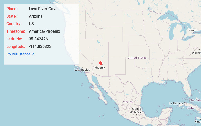
Location Information
-
Full AddressLava River Cave, 171B Forest Rd, Flagstaff, AZ 86001
-
Coordinates35.342426, -111.836323
-
Street171B Forest Rd
-
LocationFlagstaff , Arizona , US
-
TimezoneAmerica/Phoenix
-
Current Local Time6:45:29 AM America/PhoenixThursday, June 5, 2025
-
Page Views0
About Lava River Cave
Mile-long underground lava tunnel, with a rugged path for hiking & exploring.


Nearby Places
Found 10 places within 50 miles

Pumpkin Center
6.7 mi
10.8 km
Pumpkin Center, Parks, AZ 86018
Get directions

Bellemont
7.2 mi
11.6 km
Bellemont, AZ
Get directions
Fort Valley
8.0 mi
12.9 km
Fort Valley, AZ 86001
Get directions

Maine
8.4 mi
13.5 km
Maine, Parks, AZ 86018
Get directions

Parks
8.5 mi
13.7 km
Parks, AZ
Get directions
Riordan
11.7 mi
18.8 km
Riordan, AZ 86001
Get directions

Chalender
13.0 mi
20.9 km
Chalender, Parks, AZ 86046
Get directions

Sherwood Forest Estates
13.7 mi
22.0 km
Sherwood Forest Estates, Parks, AZ 86046
Get directions

Flagstaff
14.4 mi
23.2 km
Flagstaff, AZ
Get directions
Pine Tank
14.7 mi
23.7 km
Pine Tank, Parks, AZ 86046
Get directions
Location Links
Local Weather
Weather Information
Coming soon!
Location Map
Static map view of Lava River Cave, Arizona
Browse Places by Distance
Places within specific distances from Lava River Cave
Short Distances
Long Distances
Click any distance to see all places within that range from Lava River Cave. Distances shown in miles (1 mile ≈ 1.61 kilometers).