Distance to Laveen Elementary District, Arizona

Calculating Your Route
Just a moment while we process your request...
Location Information
-
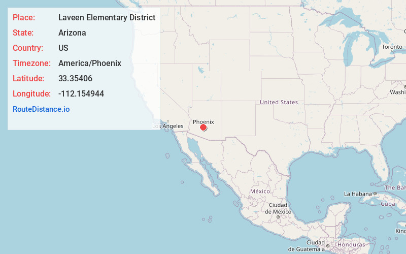
Full AddressLaveen Elementary District, AZ
-
Coordinates33.3540602, -112.1549442
-
LocationArizona , US
-
TimezoneAmerica/Phoenix
-
Current Local Time10:08:53 PM America/PhoenixThursday, June 19, 2025
-
Page Views0
About Laveen Elementary District
The Laveen Elementary School District is the K–8 school district for Laveen, an area of southwest Phoenix, Arizona, USA. It operates nine schools, serving about 7,500 students in 2023. Laveen ESD is one of 13 elementary school districts in the Phoenix area that feed into the Phoenix Union High School District.
Nearby Places
Found 10 places within 50 miles

Co-Op Village
3.3 mi
5.3 km
Co-Op Village, Maricopa Colony, AZ 85339
Get directions
Maricopa Colony
3.8 mi
6.1 km
Maricopa Colony, AZ 85339
Get directions

Komatke
4.4 mi
7.1 km
Komatke, AZ 85339
Get directions

Phoenix
7.9 mi
12.7 km
Phoenix, AZ
Get directions
Santa Cruz
8.8 mi
14.2 km
Santa Cruz, AZ 85339
Get directions

Tolleson
9.0 mi
14.5 km
Tolleson, AZ
Get directions
Cartwright Elementary District
10.1 mi
16.3 km
Cartwright Elementary District, Phoenix, AZ
Get directions
Lone Butte Ranch
10.5 mi
16.9 km
Lone Butte Ranch, AZ 85226
Get directions
Contempo Tempe
10.8 mi
17.4 km
Contempo Tempe, Tempe, AZ 85282
Get directions
Midges Court
11.1 mi
17.9 km
Midges Court, Glendale, AZ 85301
Get directions
Location Links
Local Weather
Weather Information
Coming soon!
Location Map
Static map view of Laveen Elementary District, Arizona
Browse Places by Distance
Places within specific distances from Laveen Elementary District
Short Distances
Long Distances
Click any distance to see all places within that range from Laveen Elementary District. Distances shown in miles (1 mile ≈ 1.61 kilometers).