Distance to Leader, Colorado

Calculating Your Route
Just a moment while we process your request...
Location Information
-
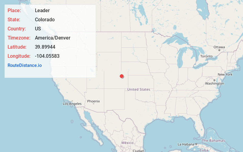
Full AddressLeader, CO 80103
-
Coordinates39.89944, -104.05583
-
LocationLeader , Colorado , US
-
TimezoneAmerica/Denver
-
Current Local Time11:51:18 PM America/DenverFriday, June 20, 2025
-
Page Views0
About Leader
Leader is a populated place in Adams County, Colorado, in the United States. Leader was once the site of a post office, school, and the Leader Community Hall.
Nearby Places
Found 10 places within 50 miles

Hoyt
8.1 mi
13.0 km
Hoyt, CO 80654
Get directions
Adena
11.7 mi
18.8 km
Adena, CO 80701
Get directions
Living Springs
13.0 mi
20.9 km
Living Springs, CO 80136
Get directions
Comanche
14.3 mi
23.0 km
Comanche, CO 80136
Get directions

Peoria
15.6 mi
25.1 km
Peoria, CO 80103
Get directions

Byers
15.8 mi
25.4 km
Byers, CO 80103
Get directions

Strasburg
18.0 mi
29.0 km
Strasburg, CO 80136
Get directions

Deer Trail
19.7 mi
31.7 km
Deer Trail, CO 80105
Get directions
South Roggen
20.5 mi
33.0 km
South Roggen, CO 80652
Get directions

Bennett
22.0 mi
35.4 km
Bennett, CO 80102
Get directions
Location Links
Local Weather
Weather Information
Coming soon!
Location Map
Static map view of Leader, Colorado
Browse Places by Distance
Places within specific distances from Leader
Short Distances
Long Distances
Click any distance to see all places within that range from Leader. Distances shown in miles (1 mile ≈ 1.61 kilometers).