Distance to Peoria, Colorado

Calculating Your Route
Just a moment while we process your request...
Location Information
-
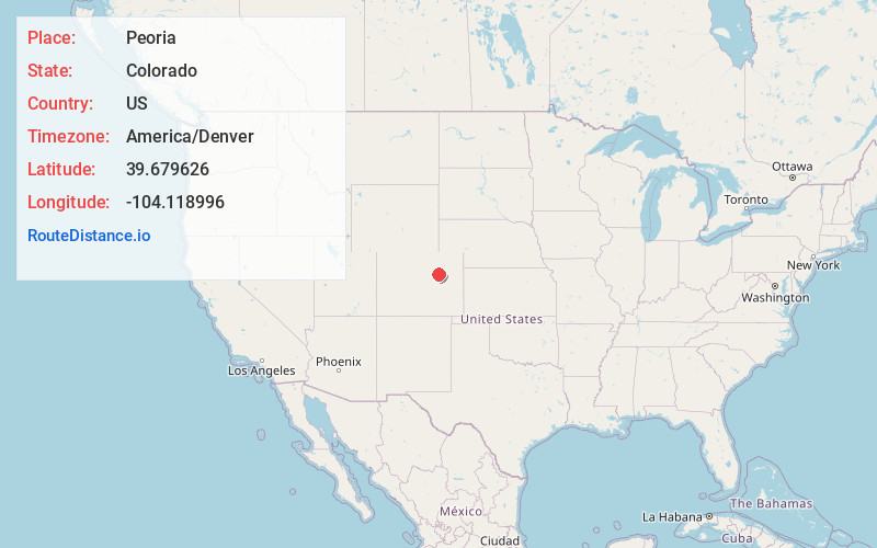
Full AddressPeoria, CO 80103
-
Coordinates39.679626, -104.118996
-
LocationPeoria , Colorado , US
-
TimezoneAmerica/Denver
-
Current Local Time10:04:23 PM America/DenverFriday, June 27, 2025
-
Page Views0
About Peoria
Peoria is an unincorporated community and a census-designated place located in and governed by Arapahoe County, Colorado, United States. The CDP is a part of the Denver–Aurora–Lakewood, CO Metropolitan Statistical Area. The population of the Peoria CDP was 153 at the United States Census 2020.


Nearby Places
Found 10 places within 50 miles

Byers
5.9 mi
9.5 km
Byers, CO 80103
Get directions

Deer Trail
6.0 mi
9.7 km
Deer Trail, CO 80105
Get directions

Strasburg
11.6 mi
18.7 km
Strasburg, CO 80136
Get directions

Comanche Creek
11.7 mi
18.8 km
Comanche Creek, CO 80136
Get directions

Bennett
17.3 mi
27.8 km
Bennett, CO 80102
Get directions
Brick Center
18.7 mi
30.1 km
Brick Center, CO 80102
Get directions

Watkins
26.4 mi
42.5 km
Watkins, CO 80137
Get directions

Kiowa
29.4 mi
47.3 km
Kiowa, CO 80117
Get directions
Aetna Estates
29.7 mi
47.8 km
Aetna Estates, CO
Get directions

Elizabeth
33.7 mi
54.2 km
Elizabeth, CO 80107
Get directions
Location Links
Local Weather
Weather Information
Coming soon!
Location Map
Static map view of Peoria, Colorado
Browse Places by Distance
Places within specific distances from Peoria
Short Distances
Long Distances
Click any distance to see all places within that range from Peoria. Distances shown in miles (1 mile ≈ 1.61 kilometers).