Distance to Kiowa, Colorado

Calculating Your Route
Just a moment while we process your request...
Location Information
-
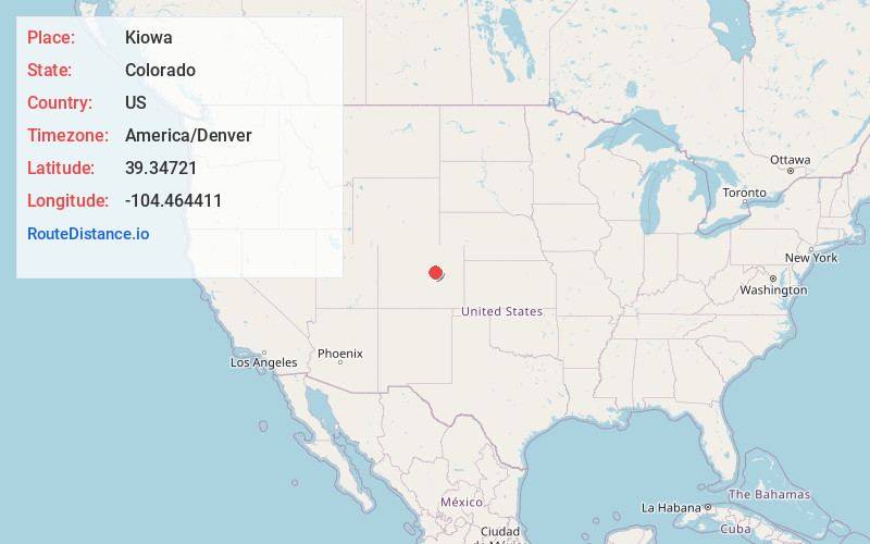
Full AddressKiowa, CO 80117
-
Coordinates39.3472095, -104.4644112
-
LocationKiowa , Colorado , US
-
TimezoneAmerica/Denver
-
Current Local Time6:43:23 AM America/DenverWednesday, May 21, 2025
-
Website
-
Page Views0
About Kiowa
Kiowa is a home rule municipality town and the county seat of Elbert County, Colorado, United States. The town population was 725 at the 2020 United States census.


Nearby Places
Found 10 places within 50 miles

Elizabeth
7.1 mi
11.4 km
Elizabeth, CO 80107
Get directions

The Pinery
16.2 mi
26.1 km
The Pinery, CO 80134
Get directions

Parker
19.8 mi
31.9 km
Parker, CO
Get directions

Castle Rock
21.0 mi
33.8 km
Castle Rock, CO
Get directions

Stonegate
22.2 mi
35.7 km
Stonegate, CO 80134
Get directions
Meridian
24.3 mi
39.1 km
Meridian, CO
Get directions

Foxfield
24.3 mi
39.1 km
Foxfield, CO 80016
Get directions

Castle Pines
24.5 mi
39.4 km
Castle Pines, CO 80108
Get directions
Dove Valley
25.2 mi
40.6 km
Dove Valley, CO
Get directions

Lone Tree
26.0 mi
41.8 km
Lone Tree, CO
Get directions
Location Links
Local Weather
Weather Information
Coming soon!
Location Map
Static map view of Kiowa, Colorado
Browse Places by Distance
Places within specific distances from Kiowa
Short Distances
Long Distances
Click any distance to see all places within that range from Kiowa. Distances shown in miles (1 mile ≈ 1.61 kilometers).