Distance to Lederach, Pennsylvania

Calculating Your Route
Just a moment while we process your request...
Location Information
-
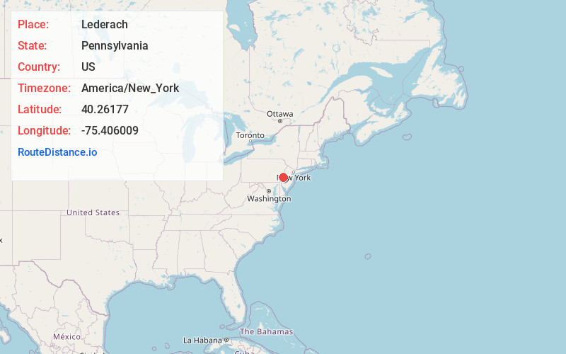
Full AddressLederach, PA 19438
-
Coordinates40.2617698, -75.4060094
-
LocationLederach , Pennsylvania , US
-
TimezoneAmerica/New_York
-
Current Local Time11:05:07 PM America/New_YorkThursday, June 19, 2025
-
Page Views0
About Lederach
Lederach is an unincorporated community in Lower Salford Township in Montgomery County, Pennsylvania, United States. Lederach is located at the intersection of Pennsylvania Route 113, Salfordville Road/Morris Road, Old Skippack Road, and Cross Road.
Nearby Places
Found 10 places within 50 miles

Lower Salford Township
0.4 mi
0.6 km
Lower Salford Township, PA
Get directions

Harleysville
1.6 mi
2.6 km
Harleysville, PA 19438
Get directions

Montgomery County
2.5 mi
4.0 km
Montgomery County, PA
Get directions

Vernfield
2.5 mi
4.0 km
Vernfield, Lower Salford Township, PA 19438
Get directions

Upper Salford Township
2.7 mi
4.3 km
Upper Salford Township, PA
Get directions

Skippack
2.7 mi
4.3 km
Skippack, PA
Get directions
Spring Mt
2.8 mi
4.5 km
Spring Mt, PA
Get directions

Schwenksville
3.1 mi
5.0 km
Schwenksville, PA 19473
Get directions
Morwood
3.8 mi
6.1 km
Morwood, Franconia Township, PA 18969
Get directions

Kulpsville
3.9 mi
6.3 km
Kulpsville, PA
Get directions
Location Links
Local Weather
Weather Information
Coming soon!
Location Map
Static map view of Lederach, Pennsylvania
Browse Places by Distance
Places within specific distances from Lederach
Short Distances
Long Distances
Click any distance to see all places within that range from Lederach. Distances shown in miles (1 mile ≈ 1.61 kilometers).