Distance to Leesville, Missouri

Calculating Your Route
Just a moment while we process your request...
Location Information
-
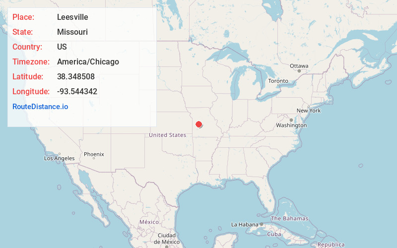
Full AddressLeesville, MO 64735
-
Coordinates38.3485078, -93.544342
-
LocationLeesville , Missouri , US
-
TimezoneAmerica/Chicago
-
Current Local Time1:36:25 PM America/ChicagoMonday, May 19, 2025
-
Page Views0
About Leesville
Leesville is an unincorporated community in Henry County, in the U.S. state of Missouri.
Nearby Places
Found 10 places within 50 miles

Tightwad
2.7 mi
4.3 km
Tightwad, MO 64735
Get directions

Calhoun
9.3 mi
15.0 km
Calhoun, MO 65323
Get directions

Warsaw
11.4 mi
18.3 km
Warsaw, MO 65355
Get directions

Lincoln
11.7 mi
18.8 km
Lincoln, MO 65338
Get directions

Cold Springs
11.9 mi
19.2 km
Cold Springs, Tom Township, MO 65355
Get directions

Brownington
12.0 mi
19.3 km
Brownington, MO 64740
Get directions

Clinton
12.8 mi
20.6 km
Clinton, MO 64735
Get directions

Windsor
12.8 mi
20.6 km
Windsor, MO 65360
Get directions
White Branch
13.0 mi
20.9 km
White Branch, MO 65355
Get directions

Deepwater
13.8 mi
22.2 km
Deepwater, MO 64740
Get directions
Location Links
Local Weather
Weather Information
Coming soon!
Location Map
Static map view of Leesville, Missouri
Browse Places by Distance
Places within specific distances from Leesville
Short Distances
Long Distances
Click any distance to see all places within that range from Leesville. Distances shown in miles (1 mile ≈ 1.61 kilometers).