Distance to Legerwood, North Carolina

Calculating Your Route
Just a moment while we process your request...
Location Information
-
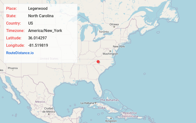
Full AddressLegerwood, NC 28645
-
Coordinates36.0142972, -81.5198194
-
LocationNorth Carolina , US
-
TimezoneAmerica/New_York
-
Current Local Time5:41:03 AM America/New_YorkWednesday, June 18, 2025
-
Page Views0
Nearby Places
Found 10 places within 50 miles

Fort Defiance
1.4 mi
2.3 km
Fort Defiance, NC 28645
Get directions
Happy Valley
2.8 mi
4.5 km
Happy Valley, NC 28645
Get directions
Finley
5.8 mi
9.3 km
Finley, NC 28645
Get directions
Cedar Rock
5.9 mi
9.5 km
Cedar Rock, NC 28645
Get directions

Lenoir
7.0 mi
11.3 km
Lenoir, NC
Get directions
Olivette
7.2 mi
11.6 km
Olivette, NC 28645
Get directions
Elkville
7.6 mi
12.2 km
Elkville, NC 28624
Get directions
Abingdon
8.3 mi
13.4 km
Abingdon, NC 28645
Get directions
Cedar Valley
9.1 mi
14.6 km
Cedar Valley, NC 28645
Get directions
Bailey Camp
9.4 mi
15.1 km
Bailey Camp, NC 28645
Get directions
Location Links
Local Weather
Weather Information
Coming soon!
Location Map
Static map view of Legerwood, North Carolina
Browse Places by Distance
Places within specific distances from Legerwood
Short Distances
Long Distances
Click any distance to see all places within that range from Legerwood. Distances shown in miles (1 mile ≈ 1.61 kilometers).