Distance to Lemont, Illinois

Calculating Your Route
Just a moment while we process your request...
Location Information
-
Full AddressLemont, IL
-
Coordinates41.673642, -88.0017261
-
LocationLemont , Illinois , US
-
TimezoneAmerica/Chicago
-
Current Local Time1:05:16 PM America/ChicagoTuesday, July 1, 2025
-
Website
-
Page Views0
About Lemont
Lemont is a village located in Cook, DuPage, and Will counties in the U.S. state of Illinois, and is a south-west suburb of Chicago. The population was 17,629 as of the 2020 census. The village is situated on a hillside along the south banks of the Des Plaines River.


Nearby Places
Found 10 places within 50 miles

Bolingbrook
3.8 mi
6.1 km
Bolingbrook, IL
Get directions

Romeoville
4.9 mi
7.9 km
Romeoville, IL
Get directions

Darien
5.4 mi
8.7 km
Darien, IL
Get directions

Woodridge
5.7 mi
9.2 km
Woodridge, IL
Get directions

Homer Glen
6.1 mi
9.8 km
Homer Glen, IL
Get directions

Lockport
6.5 mi
10.5 km
Lockport, IL
Get directions

Orland Park
8.2 mi
13.2 km
Orland Park, IL
Get directions

Westmont
8.6 mi
13.8 km
Westmont, IL
Get directions

Downers Grove
9.4 mi
15.1 km
Downers Grove, IL
Get directions

Naperville
9.5 mi
15.3 km
Naperville, IL
Get directions
Location Links
Local Weather
Weather Information
Coming soon!
Location Map
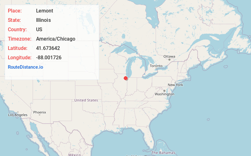
Static map view of Lemont, Illinois
Browse Places by Distance
Places within specific distances from Lemont
Short Distances
Long Distances
Click any distance to see all places within that range from Lemont. Distances shown in miles (1 mile ≈ 1.61 kilometers).