Distance to Lena, Indiana

Calculating Your Route
Just a moment while we process your request...
Location Information
-
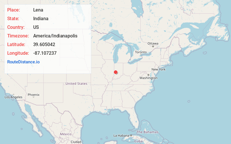
Full AddressLena, IN 47837
-
Coordinates39.6050417, -87.1072365
-
LocationLena , Indiana , US
-
TimezoneAmerica/Indianapolis
-
Page Views0
About Lena
Lena is an unincorporated community in southern Jackson Township, Parke County, in the U.S. state of Indiana. A portion of Lena also extends into Clay County, just north of Carbon. This portion of Lena is referred to as Marysville.
Nearby Places
Found 10 places within 50 miles

Carbon
0.4 mi
0.6 km
Carbon, IN 47837
Get directions
Perth
3.0 mi
4.8 km
Perth, IN 47837
Get directions
Shady Lane
4.3 mi
6.9 km
Shady Lane, Brazil Township, IN 47834
Get directions

Bridgeton
4.7 mi
7.6 km
Bridgeton, IN
Get directions
Harmony
5.2 mi
8.4 km
Harmony, IN
Get directions
Knightsville
5.6 mi
9.0 km
Knightsville, IN
Get directions

Brazil
5.7 mi
9.2 km
Brazil, IN 47834
Get directions
Bee Ridge
5.8 mi
9.3 km
Bee Ridge, IN 47834
Get directions
Keytsville
6.0 mi
9.7 km
Keytsville, Madison Township, IN 46135
Get directions
Ferndale
7.4 mi
11.9 km
Ferndale, Union Township, IN 47872
Get directions
Location Links
Local Weather
Weather Information
Coming soon!
Location Map
Static map view of Lena, Indiana
Browse Places by Distance
Places within specific distances from Lena
Short Distances
Long Distances
Click any distance to see all places within that range from Lena. Distances shown in miles (1 mile ≈ 1.61 kilometers).