Distance to Lennox, Minnesota

Calculating Your Route
Just a moment while we process your request...
Location Information
-
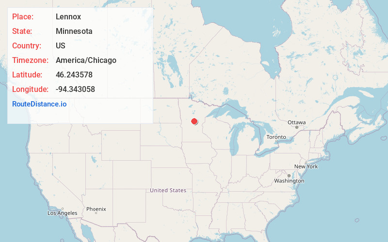
Full AddressLennox, MN 56401
-
Coordinates46.2435781, -94.3430579
-
LocationLennox , Minnesota , US
-
TimezoneAmerica/Chicago
-
Current Local Time12:01:54 PM America/ChicagoMonday, May 19, 2025
-
Page Views0
Nearby Places
Found 10 places within 50 miles

St Mathias
4.6 mi
7.4 km
St Mathias, MN 56449
Get directions
Fort Ripley
5.4 mi
8.7 km
Fort Ripley, MN 56449
Get directions
Barrows
5.8 mi
9.3 km
Barrows, MN 56401
Get directions

Baxter
8.1 mi
13.0 km
Baxter, MN
Get directions

Pillager
8.6 mi
13.8 km
Pillager, MN 56473
Get directions

Brainerd
10.1 mi
16.3 km
Brainerd, MN 56401
Get directions
East Gull Lake
11.4 mi
18.3 km
East Gull Lake, MN 56401
Get directions

Pillsbury State Forest
12.9 mi
20.8 km
Pillsbury State Forest, Fairview Township, MN 56468
Get directions
Randall
13.1 mi
21.1 km
Randall, MN 56475
Get directions
Cushing
13.3 mi
21.4 km
Cushing, MN 56443
Get directions
Location Links
Local Weather
Weather Information
Coming soon!
Location Map
Static map view of Lennox, Minnesota
Browse Places by Distance
Places within specific distances from Lennox
Short Distances
Long Distances
Click any distance to see all places within that range from Lennox. Distances shown in miles (1 mile ≈ 1.61 kilometers).