Distance to Lenox, Oklahoma

Calculating Your Route
Just a moment while we process your request...
Location Information
-
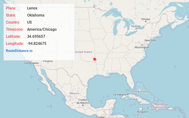
Full AddressLenox, OK 74577
-
Coordinates34.6956574, -94.8246747
-
LocationOklahoma , US
-
TimezoneAmerica/Chicago
-
Current Local Time1:07:54 PM America/ChicagoWednesday, June 4, 2025
-
Page Views0
About Lenox
Lenox is an unincorporated community in Le Flore County, Oklahoma, United States.
Nearby Places
Found 10 places within 50 miles

Whitesboro
3.4 mi
5.5 km
Whitesboro, OK
Get directions

Muse
3.9 mi
6.3 km
Muse, OK 74949
Get directions

Big Cedar Creek
10.0 mi
16.1 km
Big Cedar Creek, Oklahoma 74939
Get directions
Stapp
12.1 mi
19.5 km
Stapp, OK 74937
Get directions

Honobia
12.6 mi
20.3 km
Honobia, OK 74957
Get directions

Lamberson
12.7 mi
20.4 km
Lamberson, OK 74571
Get directions
Conser
12.8 mi
20.6 km
Conser, OK 74937
Get directions

Talihina
13.3 mi
21.4 km
Talihina, OK 74571
Get directions

Little Rock Creek
13.5 mi
21.7 km
Little Rock Creek, Oklahoma 74957
Get directions
Summerfield
14.2 mi
22.9 km
Summerfield, OK 74966
Get directions
Location Links
Local Weather
Weather Information
Coming soon!
Location Map
Static map view of Lenox, Oklahoma
Browse Places by Distance
Places within specific distances from Lenox
Short Distances
Long Distances
Click any distance to see all places within that range from Lenox. Distances shown in miles (1 mile ≈ 1.61 kilometers).