Distance to Leshara, Nebraska

Calculating Your Route
Just a moment while we process your request...
Location Information
-
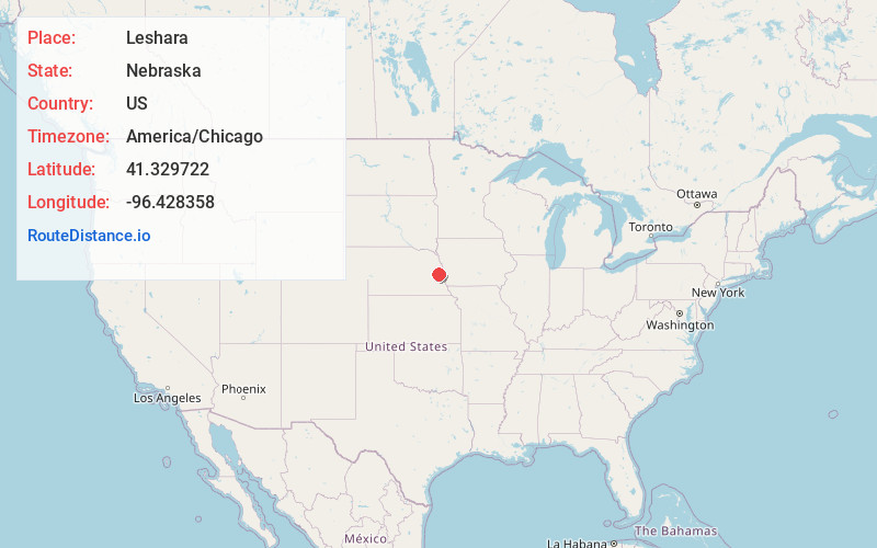
Full AddressLeshara, NE 68064
-
Coordinates41.3297222, -96.4283583
-
LocationLeshara , Nebraska , US
-
TimezoneAmerica/Chicago
-
Current Local Time4:52:38 AM America/ChicagoFriday, June 20, 2025
-
Page Views0
About Leshara
Leshara is a village in Saunders County, Nebraska, United States. The population was 108 at the 2020 census.
Nearby Places
Found 10 places within 50 miles

Valley
4.4 mi
7.1 km
Valley, NE
Get directions

Yutan
6.1 mi
9.8 km
Yutan, NE 68073
Get directions
Inglewood
7.1 mi
11.4 km
Inglewood, NE 68025
Get directions

Mead
7.7 mi
12.4 km
Mead, NE 68041
Get directions

Waterloo
7.9 mi
12.7 km
Waterloo, NE 68069
Get directions

Fremont
8.0 mi
12.9 km
Fremont, NE 68025
Get directions
Arlington
9.4 mi
15.1 km
Arlington, NE 68002
Get directions

Cedar Bluffs
10.6 mi
17.1 km
Cedar Bluffs, NE 68015
Get directions

Washington
12.3 mi
19.8 km
Washington, NE
Get directions

Wahoo
12.9 mi
20.8 km
Wahoo, NE
Get directions
Location Links
Local Weather
Weather Information
Coming soon!
Location Map
Static map view of Leshara, Nebraska
Browse Places by Distance
Places within specific distances from Leshara
Short Distances
Long Distances
Click any distance to see all places within that range from Leshara. Distances shown in miles (1 mile ≈ 1.61 kilometers).