Distance to Lester, Alabama

Calculating Your Route
Just a moment while we process your request...
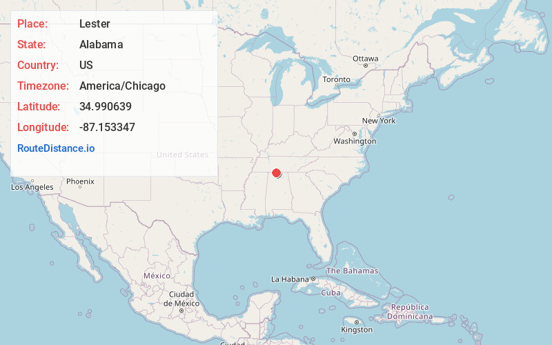
Location Information
-
Full AddressLester, AL 35647
-
Coordinates34.9906391, -87.1533469
-
LocationLester , Alabama , US
-
TimezoneAmerica/Chicago
-
Current Local Time4:46:36 AM America/ChicagoMonday, June 2, 2025
-
Page Views0
About Lester
Lester is a town in Limestone County, Alabama, United States, and is included in the Huntsville-Decatur Combined Statistical Area. As of the 2010 census, the population of the town is 111, up from 107 in 2000.
Nearby Places
Found 10 places within 50 miles

Minor Hill
4.5 mi
7.2 km
Minor Hill, TN
Get directions

Anderson
7.7 mi
12.4 km
Anderson, AL
Get directions

Elkmont
11.0 mi
17.7 km
Elkmont, AL 35620
Get directions

Lexington
12.4 mi
20.0 km
Lexington, AL 35648
Get directions

Rogersville
13.9 mi
22.4 km
Rogersville, AL 35652
Get directions

Elkton
15.6 mi
25.1 km
Elkton, TN
Get directions

Pulaski
16.0 mi
25.7 km
Pulaski, TN 38478
Get directions
Leoma
16.1 mi
25.9 km
Leoma, TN 38468
Get directions

Athens
16.6 mi
26.7 km
Athens, AL
Get directions

Ardmore
16.8 mi
27.0 km
Ardmore, TN
Get directions
Location Links
Local Weather
Weather Information
Coming soon!
Location Map
Static map view of Lester, Alabama
Browse Places by Distance
Places within specific distances from Lester
Short Distances
Long Distances
Click any distance to see all places within that range from Lester. Distances shown in miles (1 mile ≈ 1.61 kilometers).