Distance to Level Park-Oak Park, Michigan

Calculating Your Route
Just a moment while we process your request...
Location Information
-
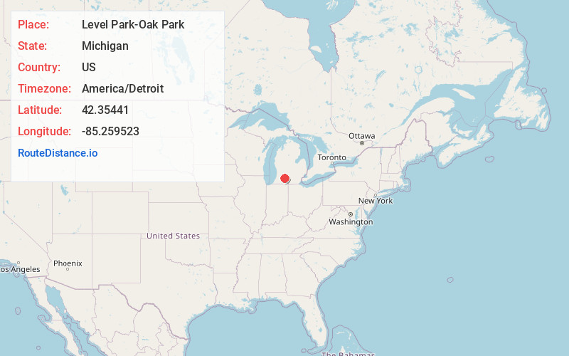
Full AddressLevel Park-Oak Park, MI
-
Coordinates42.3544099, -85.2595229
-
LocationLevel Park-Oak Park , Michigan , US
-
TimezoneAmerica/Detroit
-
Current Local Time9:01:28 PM America/DetroitWednesday, June 25, 2025
-
Page Views0
About Level Park-Oak Park
Level Park–Oak Park is a census-designated place for statistical purposes in Calhoun County in the U.S. state of Michigan. The CDP population was 3,260 at the 2020 census. The CDP is immediately northwest of the city of Battle Creek and is part of the Battle Creek Metropolitan Statistical Area.
Nearby Places
Found 10 places within 50 miles

Oak Park
0.3 mi
0.5 km
Oak Park, Level Park-Oak Park, MI 49037
Get directions

Springfield
2.2 mi
3.5 km
Springfield, MI
Get directions

Battle Creek
4.7 mi
7.6 km
Battle Creek, MI
Get directions

Augusta
4.9 mi
7.9 km
Augusta, MI 49012
Get directions
Maplehurst
5.4 mi
8.7 km
Maplehurst, Pennfield Township, MI 49017
Get directions
Sunrise Heights
5.8 mi
9.3 km
Sunrise Heights, Emmett Township, MI 49014
Get directions
Brownlee Park
6.5 mi
10.5 km
Brownlee Park, MI
Get directions
Banfield
7.7 mi
12.4 km
Banfield, Johnstown Township, MI 49046
Get directions
Charleston Township
7.8 mi
12.6 km
Charleston Township, MI
Get directions
Wattles Park
8.5 mi
13.7 km
Wattles Park, Emmett Township, MI 49014
Get directions
Location Links
Local Weather
Weather Information
Coming soon!
Location Map
Static map view of Level Park-Oak Park, Michigan
Browse Places by Distance
Places within specific distances from Level Park-Oak Park
Short Distances
Long Distances
Click any distance to see all places within that range from Level Park-Oak Park. Distances shown in miles (1 mile ≈ 1.61 kilometers).