Distance to Lewis & Clark College, Oregon

Calculating Your Route
Just a moment while we process your request...
Location Information
-
Full AddressLewis & Clark College, 615 S Palatine Hill Rd, Portland, OR 97219
-
Coordinates45.450223, -122.670186
-
Street615 S Palatine Hill Rd
-
NeighborhoodSouthwest Portland
-
LocationPortland , Oregon , US
-
TimezoneAmerica/Los_Angeles
-
Current Local Time4:56:07 PM America/Los_AngelesThursday, June 5, 2025
-
Website
-
Page Views0


Nearby Places
Found 10 places within 50 miles

Tryon Creek State Natural Area
0.9 mi
1.4 km
Tryon Creek State Natural Area, Portland, OR
Get directions

Dunthorpe
1.2 mi
1.9 km
Dunthorpe, OR
Get directions

Milwaukie
1.6 mi
2.6 km
Milwaukie, OR
Get directions

Lake Oswego
2.2 mi
3.5 km
Lake Oswego, OR
Get directions

Oak Grove
2.7 mi
4.3 km
Oak Grove, OR
Get directions

Portland
4.5 mi
7.2 km
Portland, OR
Get directions

Oatfield
4.6 mi
7.4 km
Oatfield, OR
Get directions
Raleigh Hills
4.9 mi
7.9 km
Raleigh Hills, OR
Get directions
Jennings Lodge
4.9 mi
7.9 km
Jennings Lodge, OR
Get directions

Clackamas Town Center Transit Center
5.0 mi
8.0 km
Clackamas Town Center Transit Center, Oregon 97086
Get directions
Location Links
Local Weather
Weather Information
Coming soon!
Location Map
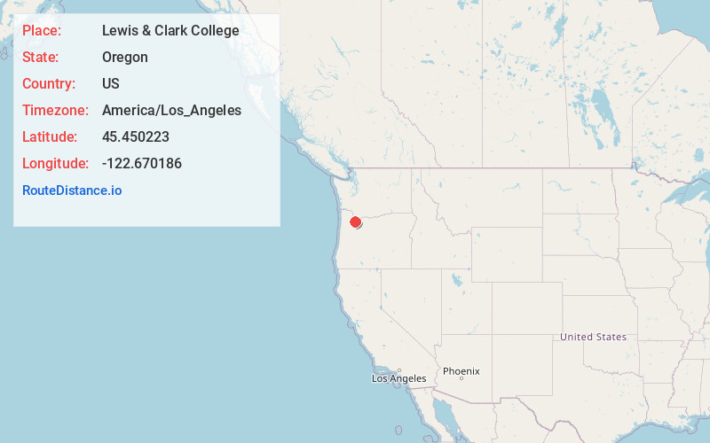
Static map view of Lewis & Clark College, Oregon
Browse Places by Distance
Places within specific distances from Lewis & Clark College
Short Distances
Long Distances
Click any distance to see all places within that range from Lewis & Clark College. Distances shown in miles (1 mile ≈ 1.61 kilometers).