Distance to Tryon Creek State Natural Area, Oregon

Calculating Your Route
Just a moment while we process your request...
Location Information
-
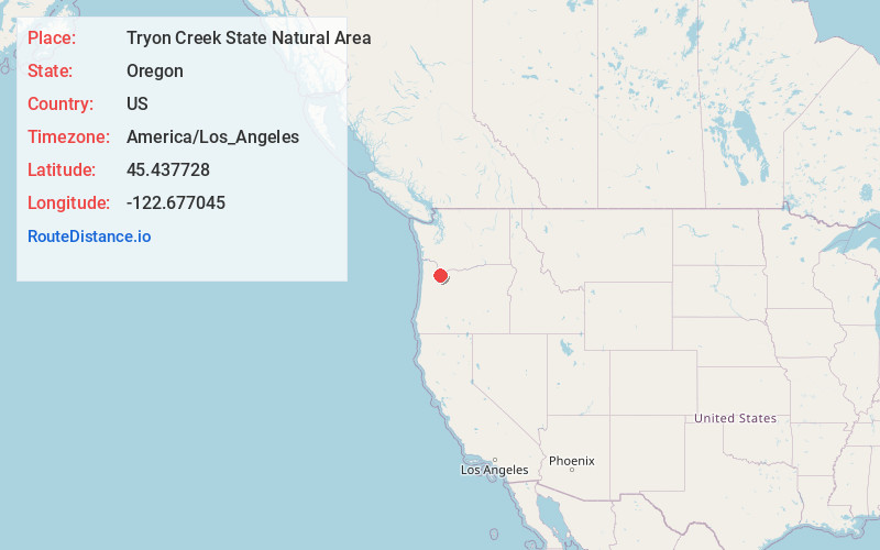
Full AddressTryon Creek State Natural Area, Portland, OR
-
Coordinates45.4377277, -122.6770448
-
LocationPortland , Oregon , US
-
TimezoneAmerica/Los_Angeles
-
Current Local Time11:08:56 AM America/Los_AngelesWednesday, June 4, 2025
-
Page Views0
About Tryon Creek State Natural Area
658-acre forested area along a ravine with well-maintained trails for hikers, horses & leashed dogs.


Nearby Places
Found 10 places within 50 miles

Dunthorpe
1.1 mi
1.8 km
Dunthorpe, OR
Get directions

Lake Oswego
1.4 mi
2.3 km
Lake Oswego, OR
Get directions

Milwaukie
1.8 mi
2.9 km
Milwaukie, OR
Get directions

Oak Grove
2.3 mi
3.7 km
Oak Grove, OR
Get directions

Rivergrove
4.4 mi
7.1 km
Rivergrove, OR
Get directions
Oatfield
4.5 mi
7.2 km
Oatfield, OR
Get directions
Jennings Lodge
4.5 mi
7.2 km
Jennings Lodge, OR
Get directions
Stafford
4.5 mi
7.2 km
Stafford, OR
Get directions

Durham
4.9 mi
7.9 km
Durham, OR 97224
Get directions

Tigard
5.0 mi
8.0 km
Tigard, OR
Get directions
Location Links
Local Weather
Weather Information
Coming soon!
Location Map
Static map view of Tryon Creek State Natural Area, Oregon
Browse Places by Distance
Places within specific distances from Tryon Creek State Natural Area
Short Distances
Long Distances
Click any distance to see all places within that range from Tryon Creek State Natural Area. Distances shown in miles (1 mile ≈ 1.61 kilometers).