Distance to Lime Township, Minnesota

Calculating Your Route
Just a moment while we process your request...
Location Information
-
Full AddressLime Township, MN
-
Coordinates44.2269019, -93.9572374
-
LocationLime Township , Minnesota , US
-
TimezoneAmerica/Chicago
-
Current Local Time9:00:11 PM America/ChicagoFriday, June 6, 2025
-
Page Views0
About Lime Township
Lime Township is a township in Blue Earth County, Minnesota, United States. The population was 1,395 as of the 2010 census.
Nearby Places
Found 10 places within 50 miles

Kasota Township
3.7 mi
6.0 km
Kasota Township, MN
Get directions

Kasota
4.5 mi
7.2 km
Kasota, MN
Get directions

Mankato
4.8 mi
7.7 km
Mankato, MN
Get directions
Camelot Park
5.0 mi
8.0 km
Camelot Park, North Mankato, MN 56003
Get directions
Jamestown Township
5.2 mi
8.4 km
Jamestown Township, MN
Get directions

North Mankato
5.3 mi
8.5 km
North Mankato, MN 56003
Get directions

Eagle Lake
5.8 mi
9.3 km
Eagle Lake, MN
Get directions
Lehillier
6.5 mi
10.5 km
Lehillier, South Bend Township, MN 56001
Get directions

St Peter
6.8 mi
10.9 km
St Peter, MN 56082
Get directions
Skyline
6.9 mi
11.1 km
Skyline, MN 56001
Get directions
Location Links
Local Weather
Weather Information
Coming soon!
Location Map
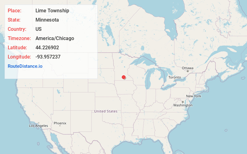
Static map view of Lime Township, Minnesota
Browse Places by Distance
Places within specific distances from Lime Township
Short Distances
Long Distances
Click any distance to see all places within that range from Lime Township. Distances shown in miles (1 mile ≈ 1.61 kilometers).