Distance to Eagle Lake, Minnesota

Calculating Your Route
Just a moment while we process your request...
Location Information
-
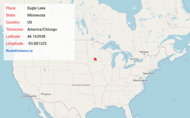
Full AddressEagle Lake, MN
-
Coordinates44.1639381, -93.8813245
-
LocationEagle Lake , Minnesota , US
-
TimezoneAmerica/Chicago
-
Current Local Time4:16:16 AM America/ChicagoTuesday, June 10, 2025
-
Page Views0
About Eagle Lake
Eagle Lake is in Blue Earth County, Minnesota, United States. The population was 3,278 at the 2020 census. It is part of the Mankato-North Mankato Metropolitan Statistical Area.
U.S. Route 14 and Minnesota State Highway 60 are two of the main arterial routes in the community.

Nearby Places
Found 10 places within 50 miles

Mankato
6.2 mi
10.0 km
Mankato, MN
Get directions

North Mankato
7.6 mi
12.2 km
North Mankato, MN 56003
Get directions

St Peter
11.8 mi
19.0 km
St Peter, MN 56082
Get directions

Waseca
19.4 mi
31.2 km
Waseca, MN 56093
Get directions

Le Sueur
20.5 mi
33.0 km
Le Sueur, MN 56058
Get directions

Montgomery
24.1 mi
38.8 km
Montgomery, MN 56069
Get directions

New Prague
30.2 mi
48.6 km
New Prague, MN 56071
Get directions

New Ulm
30.4 mi
48.9 km
New Ulm, MN 56073
Get directions

Lonsdale
31.3 mi
50.4 km
Lonsdale, MN 55046
Get directions

Faribault
31.6 mi
50.9 km
Faribault, MN 55021
Get directions
Location Links
Local Weather
Weather Information
Coming soon!
Location Map
Static map view of Eagle Lake, Minnesota
Browse Places by Distance
Places within specific distances from Eagle Lake
Short Distances
Long Distances
Click any distance to see all places within that range from Eagle Lake. Distances shown in miles (1 mile ≈ 1.61 kilometers).