Distance to Lindentree, Ohio

Calculating Your Route
Just a moment while we process your request...
Location Information
-
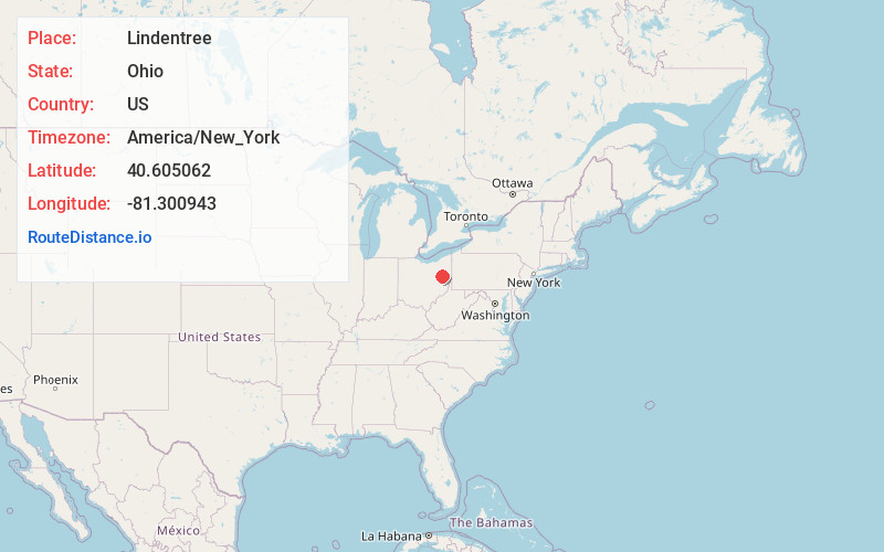
Full AddressLindentree, OH 44643
-
Coordinates40.6050623, -81.3009432
-
LocationLindentree , Ohio , US
-
TimezoneAmerica/New_York
-
Current Local Time11:18:49 PM America/New_YorkTuesday, May 20, 2025
-
Page Views0
About Lindentree
Lindentree is an unincorporated community in Rose Township, Carroll County, Ohio, United States. The community is part of the Canton–Massillon Metropolitan Statistical Area and is served by the Mineral City post office, ZIP code 44645. Lindentree is located on Huff Run.
Nearby Places
Found 10 places within 50 miles

Mineral City
3.2 mi
5.1 km
Mineral City, OH 44656
Get directions

Magnolia
3.2 mi
5.1 km
Magnolia, OH
Get directions

Morges
3.6 mi
5.8 km
Morges, OH 44643
Get directions
Sandyville
4.5 mi
7.2 km
Sandyville, OH
Get directions
Zoarville
4.8 mi
7.7 km
Zoarville, OH 44656
Get directions
Waynesburg
4.9 mi
7.9 km
Waynesburg, OH 44688
Get directions

East Sparta
5.1 mi
8.2 km
East Sparta, OH
Get directions
Goodland Acres
5.2 mi
8.4 km
Goodland Acres, Sandy Township, OH 44688
Get directions

Dellroy
6.4 mi
10.3 km
Dellroy, OH
Get directions

Zoar
6.4 mi
10.3 km
Zoar, OH
Get directions
Location Links
Local Weather
Weather Information
Coming soon!
Location Map
Static map view of Lindentree, Ohio
Browse Places by Distance
Places within specific distances from Lindentree
Short Distances
Long Distances
Click any distance to see all places within that range from Lindentree. Distances shown in miles (1 mile ≈ 1.61 kilometers).