Distance to Magnolia, Ohio

Calculating Your Route
Just a moment while we process your request...
Location Information
-
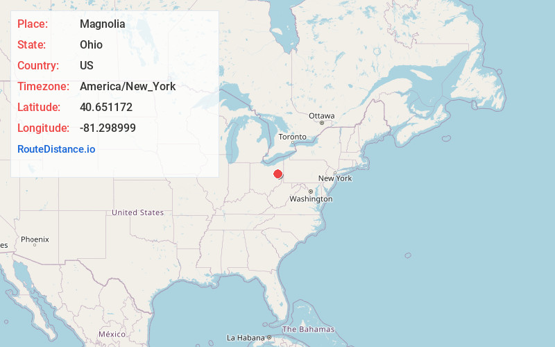
Full AddressMagnolia, OH
-
Coordinates40.6511724, -81.2989991
-
LocationMagnolia , Ohio , US
-
TimezoneAmerica/New_York
-
Current Local Time3:43:30 PM America/New_YorkFriday, June 20, 2025
-
Page Views0
About Magnolia
Magnolia is a village in Carroll and Stark counties in the U.S. state of Ohio. The population was 1,013 at the time of the 2020 census. It is part of the Canton–Massillon metropolitan area.

Nearby Places
Found 10 places within 50 miles

Lake Mohawk
5.8 mi
9.3 km
Lake Mohawk, OH 44644
Get directions

Malvern
6.8 mi
10.9 km
Malvern, OH 44644
Get directions

North Industry
7.0 mi
11.3 km
North Industry, OH
Get directions
Wilkshire Hills
7.3 mi
11.7 km
Wilkshire Hills, OH 44612
Get directions

East Canton
9.4 mi
15.1 km
East Canton, OH 44730
Get directions

Canton
10.9 mi
17.5 km
Canton, OH
Get directions

Minerva
11.5 mi
18.5 km
Minerva, OH 44657
Get directions
Richville
11.6 mi
18.7 km
Richville, OH
Get directions
Reedurban
12.3 mi
19.8 km
Reedurban, OH
Get directions

Carrollton
12.4 mi
20.0 km
Carrollton, OH 44615
Get directions
Location Links
Local Weather
Weather Information
Coming soon!
Location Map
Static map view of Magnolia, Ohio
Browse Places by Distance
Places within specific distances from Magnolia
Short Distances
Long Distances
Click any distance to see all places within that range from Magnolia. Distances shown in miles (1 mile ≈ 1.61 kilometers).