Distance to Zoarville, Ohio

Calculating Your Route
Just a moment while we process your request...
Location Information
-
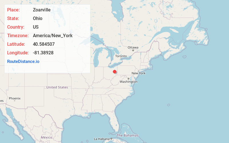
Full AddressZoarville, OH 44656
-
Coordinates40.5845071, -81.38928
-
LocationZoarville , Ohio , US
-
TimezoneAmerica/New_York
-
Current Local Time2:08:23 PM America/New_YorkSunday, May 25, 2025
-
Page Views0
About Zoarville
Zoarville is an unincorporated community in Tuscarawas County, in the U.S. state of Ohio.
Nearby Places
Found 10 places within 50 miles

Mineral City
1.9 mi
3.1 km
Mineral City, OH 44656
Get directions

Zoar
2.7 mi
4.3 km
Zoar, OH
Get directions

Wilkshire Hills
3.7 mi
6.0 km
Wilkshire Hills, OH 44612
Get directions
Sandyville
4.0 mi
6.4 km
Sandyville, OH
Get directions
Bolivar
5.6 mi
9.0 km
Bolivar, OH 44612
Get directions
Parral
5.9 mi
9.5 km
Parral, OH 44622
Get directions

East Sparta
6.0 mi
9.7 km
East Sparta, OH
Get directions
Columbia
6.2 mi
10.0 km
Columbia, OH 44622
Get directions

Dover
6.3 mi
10.1 km
Dover, OH
Get directions

Magnolia
6.6 mi
10.6 km
Magnolia, OH
Get directions
Location Links
Local Weather
Weather Information
Coming soon!
Location Map
Static map view of Zoarville, Ohio
Browse Places by Distance
Places within specific distances from Zoarville
Short Distances
Long Distances
Click any distance to see all places within that range from Zoarville. Distances shown in miles (1 mile ≈ 1.61 kilometers).