Distance to Lindsey, Ohio

Calculating Your Route
Just a moment while we process your request...
Location Information
-
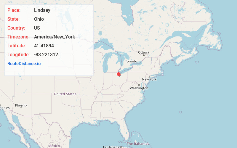
Full AddressLindsey, OH 43442
-
Coordinates41.4189403, -83.2213115
-
LocationLindsey , Ohio , US
-
TimezoneAmerica/New_York
-
Current Local Time6:36:18 AM America/New_YorkMonday, June 16, 2025
-
Page Views0
About Lindsey
Lindsey is a village in Sandusky County, Ohio, United States, near the halfway point of the route between Detroit and Cleveland. The population was 457 at the 2020 census. The National Arbor Day Foundation has designated Lindsey as a Tree City USA.

Nearby Places
Found 10 places within 50 miles

Elmore
5.5 mi
8.9 km
Elmore, OH 43416
Get directions

Gibsonburg
5.6 mi
9.0 km
Gibsonburg, OH 43431
Get directions

Stony Prairie
6.3 mi
10.1 km
Stony Prairie, OH 43420
Get directions

Fremont
7.0 mi
11.3 km
Fremont, OH 43420
Get directions

Oak Harbor
7.2 mi
11.6 km
Oak Harbor, OH 43449
Get directions
Ballville
7.8 mi
12.6 km
Ballville, OH 43420
Get directions

Woodville
7.8 mi
12.6 km
Woodville, OH 43469
Get directions

Genoa
9.9 mi
15.9 km
Genoa, OH 43430
Get directions
Bettsville
11.9 mi
19.2 km
Bettsville, OH
Get directions

Pemberville
12.4 mi
20.0 km
Pemberville, OH 43450
Get directions
Location Links
Local Weather
Weather Information
Coming soon!
Location Map
Static map view of Lindsey, Ohio
Browse Places by Distance
Places within specific distances from Lindsey
Short Distances
Long Distances
Click any distance to see all places within that range from Lindsey. Distances shown in miles (1 mile ≈ 1.61 kilometers).