Distance to Lingles Crossroads, South Carolina

Calculating Your Route
Just a moment while we process your request...
Location Information
-
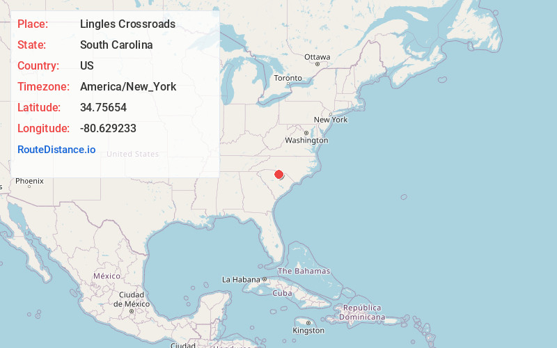
Full AddressLingles Crossroads, Buford, SC 29720
-
Coordinates34.7565403, -80.6292327
-
LocationBuford , South Carolina , US
-
TimezoneAmerica/New_York
-
Current Local Time1:22:58 PM America/New_YorkThursday, June 19, 2025
-
Page Views0
Nearby Places
Found 10 places within 50 miles

Antioch
4.6 mi
7.4 km
Antioch, SC 29720
Get directions

Tradesville
4.7 mi
7.6 km
Tradesville, SC 29720
Get directions
Unity
4.9 mi
7.9 km
Unity, SC 29720
Get directions
Primus
5.2 mi
8.4 km
Primus, SC 29720
Get directions
White Bluff Crossroads
7.7 mi
12.4 km
White Bluff Crossroads, SC 29067
Get directions
Taxahaw
7.9 mi
12.7 km
Taxahaw, SC 29720
Get directions

Lancaster
8.4 mi
13.5 km
Lancaster, SC 29720
Get directions

Jaars
9.9 mi
15.9 km
Jaars, NC 28173
Get directions
Pleasant Hill
10.0 mi
16.1 km
Pleasant Hill, SC 29058
Get directions
Crowburg
10.6 mi
17.1 km
Crowburg, SC 29728
Get directions
Location Links
Local Weather
Weather Information
Coming soon!
Location Map
Static map view of Lingles Crossroads, South Carolina
Browse Places by Distance
Places within specific distances from Lingles Crossroads
Short Distances
Long Distances
Click any distance to see all places within that range from Lingles Crossroads. Distances shown in miles (1 mile ≈ 1.61 kilometers).