Distance to Linndale, Ohio

Calculating Your Route
Just a moment while we process your request...
Location Information
-
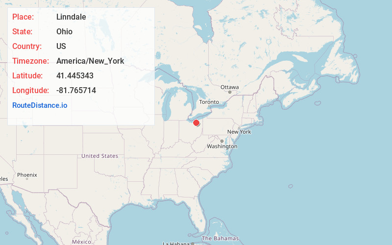
Full AddressLinndale, OH
-
Coordinates41.4453433, -81.7657135
-
LocationLinndale , Ohio , US
-
TimezoneAmerica/New_York
-
Current Local Time3:07:29 AM America/New_YorkSunday, June 1, 2025
-
Page Views0
About Linndale
Linndale is the smallest village in Cuyahoga County, Ohio, United States. It is landlocked, surrounded by the city of Cleveland and the suburb of Brooklyn. According to the 2020 census, the population was 108.
Nearby Places
Found 10 places within 50 miles

Brooklyn
1.3 mi
2.1 km
Brooklyn, OH
Get directions

Lakewood
3.0 mi
4.8 km
Lakewood, OH
Get directions

Parma
3.6 mi
5.8 km
Parma, OH
Get directions

Brook Park
3.8 mi
6.1 km
Brook Park, OH
Get directions

Parma Heights
3.8 mi
6.1 km
Parma Heights, OH 44130
Get directions

Rocky River
4.9 mi
7.9 km
Rocky River, OH 44116
Get directions

Fairview Park
5.1 mi
8.2 km
Fairview Park, OH
Get directions

Cleveland
5.2 mi
8.4 km
Cleveland, OH
Get directions

Newburgh Heights
5.3 mi
8.5 km
Newburgh Heights, OH 44105
Get directions

Brooklyn Heights
5.5 mi
8.9 km
Brooklyn Heights, OH
Get directions
Location Links
Local Weather
Weather Information
Coming soon!
Location Map
Static map view of Linndale, Ohio
Browse Places by Distance
Places within specific distances from Linndale
Short Distances
Long Distances
Click any distance to see all places within that range from Linndale. Distances shown in miles (1 mile ≈ 1.61 kilometers).