Distance to Litchfield Park, Arizona

Calculating Your Route
Just a moment while we process your request...
Location Information
-
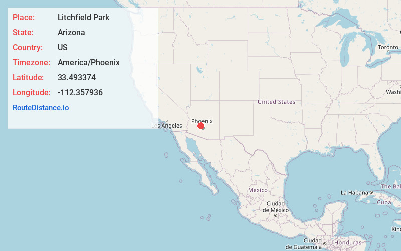
Full AddressLitchfield Park, AZ
-
Coordinates33.4933743, -112.3579364
-
LocationLitchfield Park , Arizona , US
-
TimezoneAmerica/Phoenix
-
Current Local Time6:48:28 PM America/PhoenixFriday, May 30, 2025
-
Website
-
Page Views0
About Litchfield Park
Litchfield Park is a city in Maricopa County, Arizona, United States. It is located 19 miles west of Phoenix. As of the 2020 census, the population of the city was 6,847, up from 5,476 in 2010.


Nearby Places
Found 10 places within 50 miles

Estrella Camp
3.2 mi
5.1 km
Estrella Camp, Goodyear, AZ 85338
Get directions
Country Villa
3.8 mi
6.1 km
Country Villa, Avondale, AZ 85323
Get directions

Goodyear
4.0 mi
6.4 km
Goodyear, AZ
Get directions

Avondale
4.0 mi
6.4 km
Avondale, AZ
Get directions
Webb
4.1 mi
6.6 km
Webb, AZ 85355
Get directions
Citrus Park
5.8 mi
9.3 km
Citrus Park, AZ
Get directions

Tolleson
6.4 mi
10.3 km
Tolleson, AZ
Get directions
Fennemore
6.7 mi
10.8 km
Fennemore, AZ 85355
Get directions
Perryville
7.2 mi
11.6 km
Perryville, Goodyear, AZ 85338
Get directions

Youngtown
7.6 mi
12.2 km
Youngtown, AZ 85363
Get directions
Location Links
Local Weather
Weather Information
Coming soon!
Location Map
Static map view of Litchfield Park, Arizona
Browse Places by Distance
Places within specific distances from Litchfield Park
Short Distances
Long Distances
Click any distance to see all places within that range from Litchfield Park. Distances shown in miles (1 mile ≈ 1.61 kilometers).