Distance to Little Dixie, Arkansas

Calculating Your Route
Just a moment while we process your request...
Location Information
-
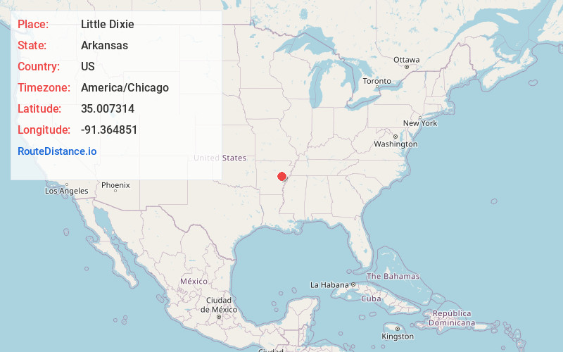
Full AddressLittle Dixie, AR 72040
-
Coordinates35.0073135, -91.3648505
-
LocationLittle Dixie , Arkansas , US
-
TimezoneAmerica/Chicago
-
Current Local Time9:20:24 AM America/ChicagoTuesday, June 24, 2025
-
Page Views0
About Little Dixie
Little Dixie is an unincorporated community in Prairie and Woodruff counties, Arkansas, United States. It is located about 8 miles east-northeast of Des Arc, about 13 miles northwest of Brinkley, and about 19 miles south of Augusta, Arkansas. It sits at the intersection of State Highway 33 and State Highway 38.
Nearby Places
Found 10 places within 50 miles

Daggett
3.2 mi
5.1 km
Daggett, AR 72040
Get directions

Cotton Plant
6.5 mi
10.5 km
Cotton Plant, AR 72036
Get directions

Des Arc
7.8 mi
12.6 km
Des Arc, AR 72040
Get directions

Georgetown
9.7 mi
15.6 km
Georgetown, AR 72143
Get directions
Casey
9.9 mi
15.9 km
Casey, AR 72036
Get directions
Gregory
10.3 mi
16.6 km
Gregory, AR 72006
Get directions
Fargo
11.1 mi
17.9 km
Fargo, AR 72021
Get directions
Zent
11.5 mi
18.5 km
Zent, AR 72021
Get directions

Brinkley
12.7 mi
20.4 km
Brinkley, AR 72021
Get directions
Enright
12.8 mi
20.6 km
Enright, AR 72143
Get directions
Location Links
Local Weather
Weather Information
Coming soon!
Location Map
Static map view of Little Dixie, Arkansas
Browse Places by Distance
Places within specific distances from Little Dixie
Short Distances
Long Distances
Click any distance to see all places within that range from Little Dixie. Distances shown in miles (1 mile ≈ 1.61 kilometers).