Distance to Livermore, Colorado

Calculating Your Route
Just a moment while we process your request...
Location Information
-
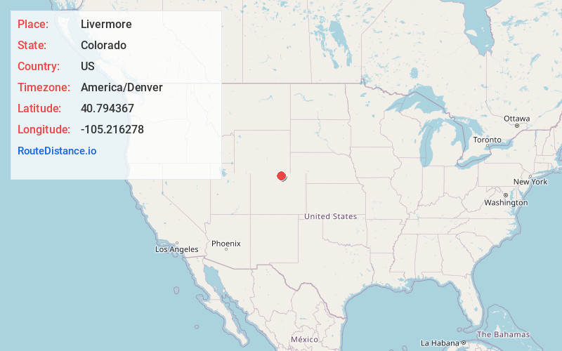
Full AddressLivermore, CO
-
Coordinates40.7943671, -105.2162779
-
LocationLivermore , Colorado , US
-
TimezoneAmerica/Denver
-
Current Local Time12:46:30 PM America/DenverThursday, June 5, 2025
-
Page Views0
About Livermore
Livermore is an unincorporated community and a U.S. Post Office in Larimer County, Colorado, United States. The Livermore Post Office has the ZIP Code 80536.
A post office called Livermore has been in operation since 1871.


Nearby Places
Found 10 places within 50 miles

Rex
2.0 mi
3.2 km
Rex, CO 80535
Get directions
Gilman Mountain
7.5 mi
12.1 km
Gilman Mountain, Colorado 80549
Get directions
Waverly
8.3 mi
13.4 km
Waverly, CO 80524
Get directions

Mishawaka
10.8 mi
17.4 km
Mishawaka, CO 80512
Get directions

Bellvue
11.6 mi
18.7 km
Bellvue, CO 80512
Get directions
Bulger
12.2 mi
19.6 km
Bulger, CO 80549
Get directions

Laporte
12.3 mi
19.8 km
Laporte, CO
Get directions

Wellington
12.5 mi
20.1 km
Wellington, CO 80549
Get directions

Virginia Dale
12.8 mi
20.6 km
Virginia Dale, CO 80536
Get directions
Eggers
15.9 mi
25.6 km
Eggers, CO 80536
Get directions
Location Links
Local Weather
Weather Information
Coming soon!
Location Map
Static map view of Livermore, Colorado
Browse Places by Distance
Places within specific distances from Livermore
Short Distances
Long Distances
Click any distance to see all places within that range from Livermore. Distances shown in miles (1 mile ≈ 1.61 kilometers).