Distance to Lloyd Landing, Maryland

Calculating Your Route
Just a moment while we process your request...
Location Information
-
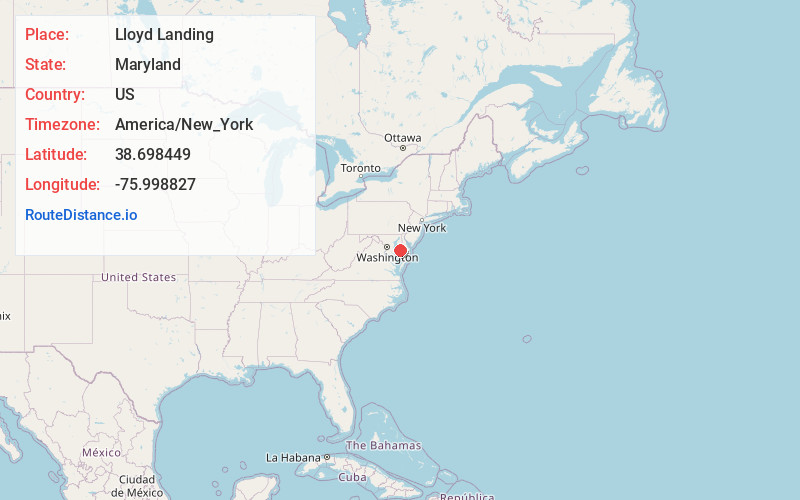
Full AddressLloyd Landing, MD 21673
-
Coordinates38.6984493, -75.9988271
-
LocationLloyd Landing , Maryland , US
-
TimezoneAmerica/New_York
-
Current Local Time1:48:57 PM America/New_YorkTuesday, June 24, 2025
-
Page Views0
About Lloyd Landing
Lloyd Landing is an unincorporated community in Talbot County, Maryland, United States. It is located on The Choptank River.
Nearby Places
Found 10 places within 50 miles

Windyhill
1.6 mi
2.6 km
Windyhill, MD 21673
Get directions
Bruceville
2.0 mi
3.2 km
Bruceville, MD 21673
Get directions
Poplar Neck
2.3 mi
3.7 km
Poplar Neck, Maryland 21655
Get directions
Manadier
2.7 mi
4.3 km
Manadier, MD 21601
Get directions
Ivytown
2.7 mi
4.3 km
Ivytown, MD 21601
Get directions

Choptank
3.0 mi
4.8 km
Choptank, MD 21655
Get directions
Barber
4.1 mi
6.6 km
Barber, MD 21673
Get directions

Trappe
4.2 mi
6.8 km
Trappe, MD 21673
Get directions
Bethlehem
4.4 mi
7.1 km
Bethlehem, MD 21655
Get directions
Providence Landing
4.7 mi
7.6 km
Providence Landing, MD 21655
Get directions
Location Links
Local Weather
Weather Information
Coming soon!
Location Map
Static map view of Lloyd Landing, Maryland
Browse Places by Distance
Places within specific distances from Lloyd Landing
Short Distances
Long Distances
Click any distance to see all places within that range from Lloyd Landing. Distances shown in miles (1 mile ≈ 1.61 kilometers).