Distance to Logan, Arkansas

Calculating Your Route
Just a moment while we process your request...
Location Information
-
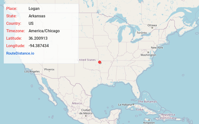
Full AddressLogan, AR 72761
-
Coordinates36.2009127, -94.3874344
-
LocationLogan , Arkansas , US
-
TimezoneAmerica/Chicago
-
Current Local Time4:13:03 PM America/ChicagoThursday, July 3, 2025
-
Page Views0
About Logan
Logan is an unincorporated community in Benton County, Arkansas, United States, located 15.5 miles southwest of Bentonville. The Gailey Hollow Farmstead and the McIntyre House, both listed on the National Register of Historic Places, are near Logan.
Nearby Places
Found 10 places within 50 miles

Springtown
4.5 mi
7.2 km
Springtown, AR 72734
Get directions

Highfill
4.7 mi
7.6 km
Highfill, AR
Get directions
Harmon
7.0 mi
11.3 km
Harmon, AR 72762
Get directions

Gentry
7.1 mi
11.4 km
Gentry, AR
Get directions
Mason Valley
7.3 mi
11.7 km
Mason Valley, Highfill, AR 72712
Get directions

Elm Springs
8.5 mi
13.7 km
Elm Springs, AR 72762
Get directions

Siloam Springs
8.7 mi
14.0 km
Siloam Springs, AR
Get directions

Tontitown
9.5 mi
15.3 km
Tontitown, AR
Get directions

Cave Springs
9.7 mi
15.6 km
Cave Springs, AR
Get directions
Bloomfield
9.9 mi
15.9 km
Bloomfield, AR 72734
Get directions
Location Links
Local Weather
Weather Information
Coming soon!
Location Map
Static map view of Logan, Arkansas
Browse Places by Distance
Places within specific distances from Logan
Short Distances
Long Distances
Click any distance to see all places within that range from Logan. Distances shown in miles (1 mile ≈ 1.61 kilometers).