Distance to Highfill, Arkansas

Calculating Your Route
Just a moment while we process your request...
Location Information
-
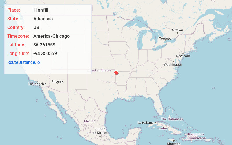
Full AddressHighfill, AR
-
Coordinates36.2615594, -94.3505591
-
LocationHighfill , Arkansas , US
-
TimezoneAmerica/Chicago
-
Current Local Time4:02:11 PM America/ChicagoThursday, June 19, 2025
-
Page Views0
About Highfill
Highfill is a town in Benton County, Arkansas, United States. The population was 1,587 as of the 2020 census. It is home to the Northwest Arkansas National Airport, which serves all of the Northwest Arkansas region.


Nearby Places
Found 10 places within 50 miles

Cave Springs
6.6 mi
10.6 km
Cave Springs, AR
Get directions

Gentry
7.5 mi
12.1 km
Gentry, AR
Get directions

Elm Springs
7.5 mi
12.1 km
Elm Springs, AR 72762
Get directions

Centerton
7.6 mi
12.2 km
Centerton, AR
Get directions

Tontitown
9.4 mi
15.1 km
Tontitown, AR
Get directions

Bentonville
10.9 mi
17.5 km
Bentonville, AR
Get directions

Siloam Springs
11.9 mi
19.2 km
Siloam Springs, AR
Get directions

Lowell
11.9 mi
19.2 km
Lowell, AR
Get directions

Springdale
13.2 mi
21.2 km
Springdale, AR
Get directions

Rogers
13.5 mi
21.7 km
Rogers, AR
Get directions
Location Links
Local Weather
Weather Information
Coming soon!
Location Map
Static map view of Highfill, Arkansas
Browse Places by Distance
Places within specific distances from Highfill
Short Distances
Long Distances
Click any distance to see all places within that range from Highfill. Distances shown in miles (1 mile ≈ 1.61 kilometers).