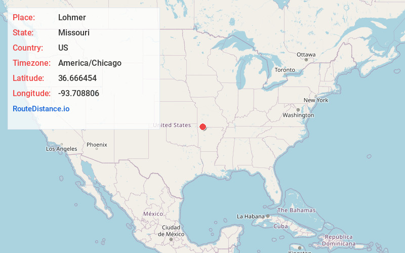
Distance to Lohmer, Missouri

Calculating Your Route
Just a moment while we process your request...
Location Information
-
Full AddressLohmer, Mineral Township, MO 65625
-
Coordinates36.6664538, -93.7088055
-
LocationMineral Township , Missouri , US
-
TimezoneAmerica/Chicago
-
Current Local Time6:10:03 PM America/ChicagoSunday, June 1, 2025
-
Page Views0
Nearby Places
Found 10 places within 50 miles

Hill City
2.0 mi
3.2 km
Hill City, Shell Knob Township, MO 65747
Get directions
Cato
4.1 mi
6.6 km
Cato, Mineral Township, MO 65747
Get directions
Mano
6.2 mi
10.0 km
Mano, Roaring River Township, MO 65625
Get directions

Shell Knob
6.4 mi
10.3 km
Shell Knob, MO
Get directions

Emerald Beach
6.6 mi
10.6 km
Emerald Beach, MO 65658
Get directions
Hilltop
8.2 mi
13.2 km
Hilltop, Flat Creek Township, MO 65625
Get directions

Eagle Rock
8.7 mi
14.0 km
Eagle Rock, MO 65641
Get directions

Cassville
8.9 mi
14.3 km
Cassville, MO 65625
Get directions
Chain-O-Lakes
9.2 mi
14.8 km
Chain-O-Lakes, MO 65641
Get directions
Star City
9.2 mi
14.8 km
Star City, McDonald Township, MO 65625
Get directions
Location Links
Local Weather
Weather Information
Coming soon!
Location Map
Static map view of Lohmer, Missouri
Browse Places by Distance
Places within specific distances from Lohmer
Short Distances
Long Distances
Click any distance to see all places within that range from Lohmer. Distances shown in miles (1 mile ≈ 1.61 kilometers).