Distance to Lola, Kentucky

Calculating Your Route
Just a moment while we process your request...
Location Information
-
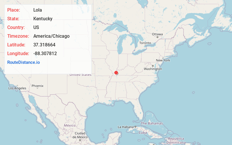
Full AddressLola, KY 42078
-
Coordinates37.3186642, -88.3078117
-
LocationLola , Kentucky , US
-
TimezoneAmerica/Chicago
-
Current Local Time5:43:57 AM America/ChicagoWednesday, June 4, 2025
-
Page Views0
About Lola
Lola is an unincorporated community in Livingston County, Kentucky, United States. The community is at the intersection of Kentucky routes 138 and 838 approximately 1.2 miles southwest of the Livingston-Crittenden county line.
In 1881, Robert P. Mitchell established a post office and named it for his daughter, Lola.
Nearby Places
Found 10 places within 50 miles

Hampton
4.3 mi
6.9 km
Hampton, KY 42078
Get directions

Joy
5.0 mi
8.0 km
Joy, KY 42081
Get directions

Salem
5.1 mi
8.2 km
Salem, KY 42078
Get directions
Irma
5.8 mi
9.3 km
Irma, KY 42064
Get directions
Burna
5.8 mi
9.3 km
Burna, KY
Get directions
Sheridan
6.4 mi
10.3 km
Sheridan, KY 42064
Get directions

Carrsville
6.6 mi
10.6 km
Carrsville, KY 42081
Get directions
New Salem
6.7 mi
10.8 km
New Salem, KY 42064
Get directions
Levias
7.0 mi
11.3 km
Levias, KY 42064
Get directions

Rosiclare
7.6 mi
12.2 km
Rosiclare, IL 62982
Get directions
Location Links
Local Weather
Weather Information
Coming soon!
Location Map
Static map view of Lola, Kentucky
Browse Places by Distance
Places within specific distances from Lola
Short Distances
Long Distances
Click any distance to see all places within that range from Lola. Distances shown in miles (1 mile ≈ 1.61 kilometers).