Distance to Lone Star Mine, Arizona

Calculating Your Route
Just a moment while we process your request...
Location Information
-
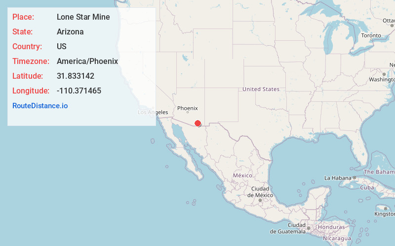
Full AddressLone Star Mine, Arizona 85602
-
Coordinates31.833142, -110.3714646
-
LocationArizona , US
-
TimezoneAmerica/Phoenix
-
Current Local Time1:27:29 AM America/PhoenixWednesday, June 4, 2025
-
Page Views0
Nearby Places
Found 10 places within 50 miles

Curtiss
9.0 mi
14.5 km
Curtiss, AZ 85630
Get directions

Whetstone
9.1 mi
14.6 km
Whetstone, AZ
Get directions

Mescal
10.3 mi
16.6 km
Mescal, AZ 85602
Get directions

Benson
10.3 mi
16.6 km
Benson, AZ
Get directions

St David
10.5 mi
16.9 km
St David, AZ 85630
Get directions
Contention
10.9 mi
17.5 km
Contention, AZ 85616
Get directions

Pomerene
12.5 mi
20.1 km
Pomerene, AZ 85602
Get directions
Fenner
12.5 mi
20.1 km
Fenner, AZ 85602
Get directions

Huachuca City
14.4 mi
23.2 km
Huachuca City, AZ 85616
Get directions

Elgin
15.0 mi
24.1 km
Elgin, AZ 85611
Get directions
Location Links
Local Weather
Weather Information
Coming soon!
Location Map
Static map view of Lone Star Mine, Arizona
Browse Places by Distance
Places within specific distances from Lone Star Mine
Short Distances
Long Distances
Click any distance to see all places within that range from Lone Star Mine. Distances shown in miles (1 mile ≈ 1.61 kilometers).