Distance to Long Point, Texas

Calculating Your Route
Just a moment while we process your request...
Location Information
-
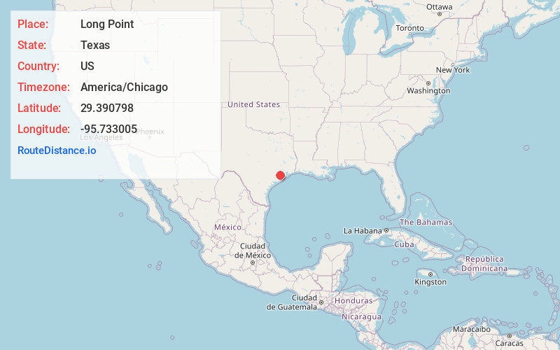
Full AddressLong Point, TX 77461
-
Coordinates29.3907981, -95.7330046
-
LocationLong Point , Texas , US
-
TimezoneAmerica/Chicago
-
Current Local Time9:30:09 AM America/ChicagoSaturday, June 21, 2025
-
Page Views0
About Long Point
Long Point is a ghost town in Fort Bend County, Texas, United States. It is located 24 miles southeast of Richmond at the intersection of Farm to Market Road 1994 and FM 361. There is no road sign identifying the community, though the nearby roads carry its name.
Nearby Places
Found 10 places within 50 miles

Fairchilds
4.0 mi
6.4 km
Fairchilds, TX
Get directions

Needville
6.3 mi
10.1 km
Needville, TX 77461
Get directions

Damon
6.9 mi
11.1 km
Damon, TX 77430
Get directions
Pleak
8.1 mi
13.0 km
Pleak, TX
Get directions
Thompsons
9.3 mi
15.0 km
Thompsons, TX 77469
Get directions
Crabb
10.4 mi
16.7 km
Crabb, TX 77469
Get directions

Rosenberg
12.4 mi
20.0 km
Rosenberg, TX
Get directions
Mchattie
12.5 mi
20.1 km
Mchattie, Rosenberg, TX 77471
Get directions
Lochridge
12.5 mi
20.1 km
Lochridge, TX 77583
Get directions

Richmond
13.3 mi
21.4 km
Richmond, TX
Get directions
Location Links
Local Weather
Weather Information
Coming soon!
Location Map
Static map view of Long Point, Texas
Browse Places by Distance
Places within specific distances from Long Point
Short Distances
Long Distances
Click any distance to see all places within that range from Long Point. Distances shown in miles (1 mile ≈ 1.61 kilometers).