Distance to Thompsons, Texas

Calculating Your Route
Just a moment while we process your request...
Location Information
-
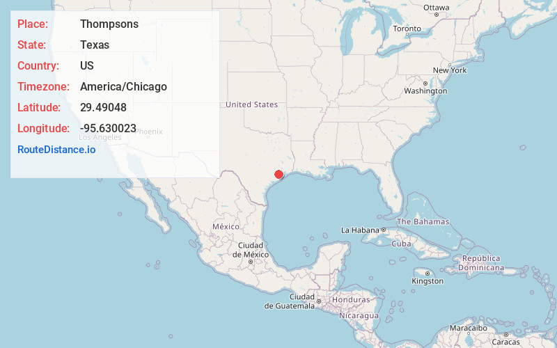
Full AddressThompsons, TX 77469
-
Coordinates29.4904804, -95.6300233
-
LocationThompsons , Texas , US
-
TimezoneAmerica/Chicago
-
Current Local Time3:35:27 AM America/ChicagoThursday, June 19, 2025
-
Page Views0
About Thompsons
Thompsons is a town in Fort Bend County, Texas, United States, within the Houston–Sugar Land–Baytown metropolitan area. The population was 156 at the 2020 census.
Nearby Places
Found 10 places within 50 miles

Sugar Land
7.5 mi
12.1 km
Sugar Land, TX
Get directions

Fifth Street
8.8 mi
14.2 km
Fifth Street, TX 77477
Get directions

Stafford
9.7 mi
15.6 km
Stafford, TX 77477
Get directions
Arcola
9.9 mi
15.9 km
Arcola, TX
Get directions
Fairchilds
9.9 mi
15.9 km
Fairchilds, TX
Get directions

Missouri City
9.9 mi
15.9 km
Missouri City, TX
Get directions

Richmond
10.1 mi
16.3 km
Richmond, TX
Get directions
Pleak
10.7 mi
17.2 km
Pleak, TX
Get directions

Pecan Grove
11.2 mi
18.0 km
Pecan Grove, TX 77406
Get directions
Meadows Place
11.4 mi
18.3 km
Meadows Place, TX 77477
Get directions
Location Links
Local Weather
Weather Information
Coming soon!
Location Map
Static map view of Thompsons, Texas
Browse Places by Distance
Places within specific distances from Thompsons
Short Distances
Long Distances
Click any distance to see all places within that range from Thompsons. Distances shown in miles (1 mile ≈ 1.61 kilometers).