Distance to Arcola, Texas

Calculating Your Route
Just a moment while we process your request...
Location Information
-
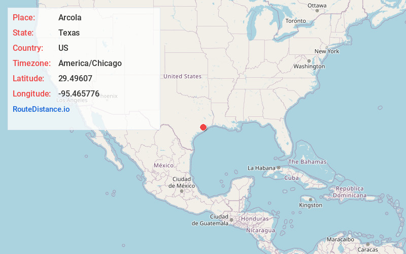
Full AddressArcola, TX
-
Coordinates29.4960702, -95.4657756
-
LocationArcola , Texas , US
-
TimezoneAmerica/Chicago
-
Current Local Time12:55:52 AM America/ChicagoFriday, June 13, 2025
-
Page Views0
About Arcola
Arcola is a city in Fort Bend County, Texas, United States, within the Houston–Sugar Land–Baytown metropolitan area. The population was 2,034 as of the 2020 census, an increase over the figure of 1,642 tabulated by the 2010 census, which represented, in turn, an increase over the 2000 figure of 1,048.
Nearby Places
Found 10 places within 50 miles

Fresno
3.2 mi
5.1 km
Fresno, TX
Get directions

Iowa Colony
4.9 mi
7.9 km
Iowa Colony, TX
Get directions

Manvel
6.9 mi
11.1 km
Manvel, TX
Get directions

Missouri City
8.2 mi
13.2 km
Missouri City, TX
Get directions

Stafford
10.0 mi
16.1 km
Stafford, TX 77477
Get directions

Pearland
11.8 mi
19.0 km
Pearland, TX
Get directions

Sugar Land
11.8 mi
19.0 km
Sugar Land, TX
Get directions

Meadows Place
13.0 mi
20.9 km
Meadows Place, TX 77477
Get directions

Alvin
14.2 mi
22.9 km
Alvin, TX
Get directions

Bellaire
14.3 mi
23.0 km
Bellaire, TX 77401
Get directions
Location Links
Local Weather
Weather Information
Coming soon!
Location Map
Static map view of Arcola, Texas
Browse Places by Distance
Places within specific distances from Arcola
Short Distances
Long Distances
Click any distance to see all places within that range from Arcola. Distances shown in miles (1 mile ≈ 1.61 kilometers).