Distance to Stafford, Texas

Calculating Your Route
Just a moment while we process your request...
Location Information
-
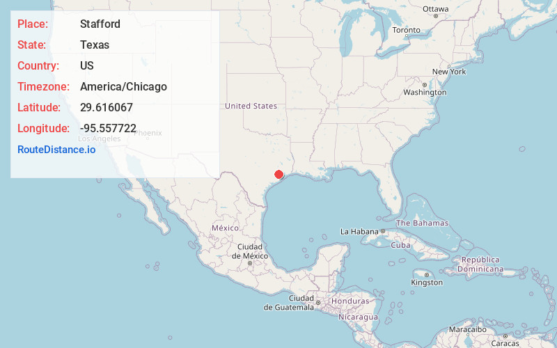
Full AddressStafford, TX 77477
-
Coordinates29.6160671, -95.5577221
-
LocationStafford , Texas , US
-
TimezoneAmerica/Chicago
-
Current Local Time1:57:07 PM America/ChicagoFriday, June 13, 2025
-
Website
-
Page Views0
About Stafford
Stafford is a city in the U.S. state of Texas, in the Houston–The Woodlands–Sugar Land metropolitan area. The city is mostly in Fort Bend County, with a small part in Harris County. As of the 2020 census, Stafford's population was 17,666, down from 17,693 at the 2010 census.


Nearby Places
Found 10 places within 50 miles

Missouri City
2.1 mi
3.4 km
Missouri City, TX
Get directions

Sugar Land
4.1 mi
6.6 km
Sugar Land, TX
Get directions

Mission Bend
8.4 mi
13.5 km
Mission Bend, TX
Get directions

Fresno
8.5 mi
13.7 km
Fresno, TX
Get directions

Pecan Grove
10.5 mi
16.9 km
Pecan Grove, TX 77406
Get directions

Cinco Ranch
14.7 mi
23.7 km
Cinco Ranch, TX
Get directions

Houston
15.0 mi
24.1 km
Houston, TX
Get directions

Rosenberg
15.6 mi
25.1 km
Rosenberg, TX
Get directions

Pearland
16.7 mi
26.9 km
Pearland, TX
Get directions

Katy
19.8 mi
31.9 km
Katy, TX
Get directions
Location Links
Local Weather
Weather Information
Coming soon!
Location Map
Static map view of Stafford, Texas
Browse Places by Distance
Places within specific distances from Stafford
Short Distances
Long Distances
Click any distance to see all places within that range from Stafford. Distances shown in miles (1 mile ≈ 1.61 kilometers).