Distance to Longbranch, Washington

Calculating Your Route
Just a moment while we process your request...
Location Information
-
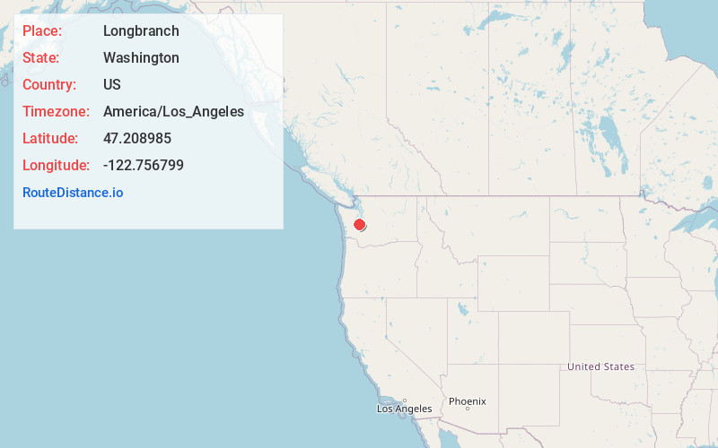
Full AddressLongbranch, WA
-
Coordinates47.208985, -122.7567994
-
LocationLongbranch , Washington , US
-
TimezoneAmerica/Los_Angeles
-
Current Local Time8:46:02 AM America/Los_AngelesFriday, June 20, 2025
-
Page Views0
About Longbranch
Longbranch is an unincorporated community and census-designated place in Pierce County, Washington, United States. It is located on the Key Peninsula, along Filucy Bay between Pitt Passage and Balch Passage. Longbranch is primarily residential and includes a marina, church, and community center.

Nearby Places
Found 10 places within 50 miles

Steilacoom
7.7 mi
12.4 km
Steilacoom, WA 98388
Get directions

Artondale
8.9 mi
14.3 km
Artondale, WA 98335
Get directions

Wollochet
9.1 mi
14.6 km
Wollochet, WA 98335
Get directions

DuPont
9.2 mi
14.8 km
DuPont, WA 98327
Get directions

Rosedale
9.8 mi
15.8 km
Rosedale, WA
Get directions

Tanglewilde-Thompson Place
10.8 mi
17.4 km
Tanglewilde-Thompson Place, WA
Get directions

Lakewood
11.5 mi
18.5 km
Lakewood, WA
Get directions

Fircrest
11.5 mi
18.5 km
Fircrest, WA 98466
Get directions
Fort Lewis
11.7 mi
18.8 km
Fort Lewis, WA
Get directions

Gig Harbor
11.7 mi
18.8 km
Gig Harbor, WA
Get directions
Location Links
Local Weather
Weather Information
Coming soon!
Location Map
Static map view of Longbranch, Washington
Browse Places by Distance
Places within specific distances from Longbranch
Short Distances
Long Distances
Click any distance to see all places within that range from Longbranch. Distances shown in miles (1 mile ≈ 1.61 kilometers).