Distance to Longleaf, Louisiana

Calculating Your Route
Just a moment while we process your request...
Location Information
-
Full AddressLongleaf, LA 71430
-
Coordinates31.0065791, -92.552639
-
LocationLongleaf , Louisiana , US
-
TimezoneAmerica/Chicago
-
Current Local Time10:10:02 AM America/ChicagoMonday, June 23, 2025
-
Page Views0
About Longleaf
Long Leaf is an unincorporated community in Rapides Parish, Louisiana, United States. Its ZIP code is 71448.
Nearby Places
Found 10 places within 50 miles

McNary
1.9 mi
3.1 km
McNary, LA 71433
Get directions

Forest Hill
2.8 mi
4.5 km
Forest Hill, LA 71430
Get directions

Glenmora
2.8 mi
4.5 km
Glenmora, LA 71433
Get directions

Kisatchie National Forest
4.2 mi
6.8 km
Kisatchie National Forest, Louisiana 71433
Get directions
Hester Landing
5.0 mi
8.0 km
Hester Landing, LA 71433
Get directions
Bringhurst
5.1 mi
8.2 km
Bringhurst, LA 71430
Get directions
Clubhouse Landing
5.3 mi
8.5 km
Clubhouse Landing, LA 71430
Get directions
Dove Landing
5.6 mi
9.0 km
Dove Landing, LA 71430
Get directions
Bennett Bay Landing
6.2 mi
10.0 km
Bennett Bay Landing, LA 71430
Get directions
Clarks Landing
6.8 mi
10.9 km
Clarks Landing, LA 70586
Get directions
Location Links
Local Weather
Weather Information
Coming soon!
Location Map
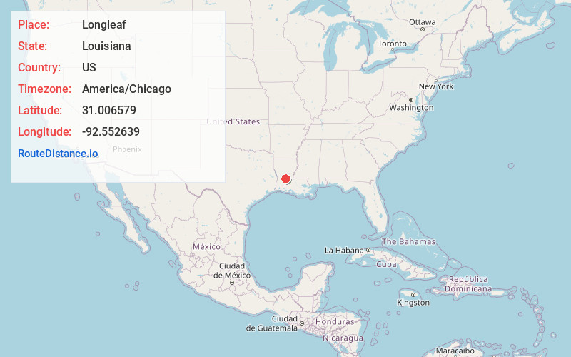
Static map view of Longleaf, Louisiana
Browse Places by Distance
Places within specific distances from Longleaf
Short Distances
Long Distances
Click any distance to see all places within that range from Longleaf. Distances shown in miles (1 mile ≈ 1.61 kilometers).