Distance to Loranger, Louisiana

Calculating Your Route
Just a moment while we process your request...
Location Information
-
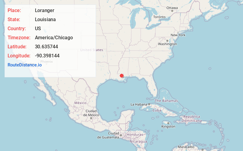
Full AddressLoranger, LA 70446
-
Coordinates30.6357439, -90.3981441
-
LocationLoranger , Louisiana , US
-
TimezoneAmerica/Chicago
-
Current Local Time2:31:42 PM America/ChicagoMonday, June 23, 2025
-
Page Views0
About Loranger
Loranger is an unincorporated community in Tangipahoa Parish, Louisiana, United States. Loranger is located East of Hammond, Louisiana, at the junction of LA 40 and LA 1062.
Nearby Places
Found 10 places within 50 miles

Tangipahoa Parish
1.8 mi
2.9 km
Tangipahoa Parish, LA
Get directions

Husser
4.7 mi
7.6 km
Husser, LA 70442
Get directions

Independence
6.1 mi
9.8 km
Independence, LA
Get directions
Velma
6.2 mi
10.0 km
Velma, LA 70443
Get directions
Tickfaw
6.5 mi
10.5 km
Tickfaw, LA 70466
Get directions
Bellewood
7.4 mi
11.9 km
Bellewood, LA 70401
Get directions
Natalbany
8.0 mi
12.9 km
Natalbany, LA
Get directions
Uneedus
8.2 mi
13.2 km
Uneedus, LA 70437
Get directions
Gullett
8.4 mi
13.5 km
Gullett, LA 70422
Get directions
Coburn
8.5 mi
13.7 km
Coburn, LA 70401
Get directions
Location Links
Local Weather
Weather Information
Coming soon!
Location Map
Static map view of Loranger, Louisiana
Browse Places by Distance
Places within specific distances from Loranger
Short Distances
Long Distances
Click any distance to see all places within that range from Loranger. Distances shown in miles (1 mile ≈ 1.61 kilometers).