Distance to Lorella, Oregon

Calculating Your Route
Just a moment while we process your request...
Location Information
-
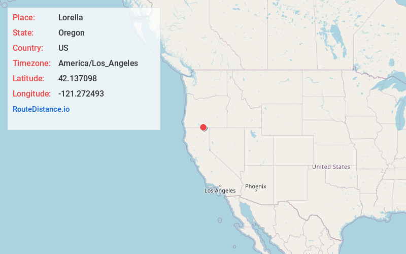
Full AddressLorella, OR 97623
-
Coordinates42.1370978, -121.2724931
-
LocationLorella , Oregon , US
-
TimezoneAmerica/Los_Angeles
-
Current Local Time11:51:14 AM America/Los_AngelesTuesday, June 24, 2025
-
Page Views0
About Lorella
Lorella, formerly Haynesville, is an unincorporated community in Klamath County, Oregon, United States. It lies southeast of Bonanza along East Langell Valley Road. The Lost River flows through the Langell Valley and near Lorella.
Nearby Places
Found 10 places within 50 miles

Hot Springs
1.7 mi
2.7 km
Hot Springs, OR 97623
Get directions

Bonanza
8.0 mi
12.9 km
Bonanza, OR 97623
Get directions
Langell Valley
9.1 mi
14.6 km
Langell Valley, OR 97623
Get directions
Lost River
9.5 mi
15.3 km
Lost River, Oregon
Get directions

Malin
11.1 mi
17.9 km
Malin, OR 97632
Get directions
Kalina
12.4 mi
20.0 km
Kalina, CA 96134
Get directions
Yonna
13.5 mi
21.7 km
Yonna, OR 97623
Get directions

Dairy
14.4 mi
23.2 km
Dairy, OR 97625
Get directions
Hildebrand
15.3 mi
24.6 km
Hildebrand, OR 97623
Get directions
Dalton
15.8 mi
25.4 km
Dalton, CA 96134
Get directions
Location Links
Local Weather
Weather Information
Coming soon!
Location Map
Static map view of Lorella, Oregon
Browse Places by Distance
Places within specific distances from Lorella
Short Distances
Long Distances
Click any distance to see all places within that range from Lorella. Distances shown in miles (1 mile ≈ 1.61 kilometers).