Distance to Los Angeles, Texas

Calculating Your Route
Just a moment while we process your request...
Location Information
-
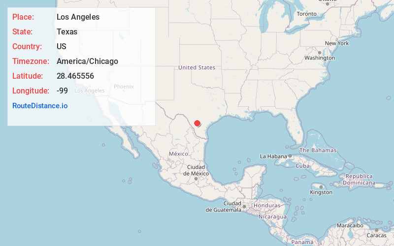
Full AddressLos Angeles, TX 78021
-
Coordinates28.465556, -99
-
LocationLos Angeles , Texas , US
-
TimezoneAmerica/Chicago
-
Current Local Time9:25:48 PM America/ChicagoMonday, June 9, 2025
-
Page Views0
About Los Angeles
Los Angeles is an unincorporated community and populated place in La Salle County, Texas, United States. According to the Handbook of Texas, the community had an estimated population of 20 in 2000.
Los Angeles is located along State Highway 97 in north-central La Salle County, about 13 miles east of Cotulla.


Nearby Places
Found 10 places within 50 miles

Cotulla
14.4 mi
23.2 km
Cotulla, TX 78014
Get directions

Dilley
17.4 mi
28.0 km
Dilley, TX 78017
Get directions

Pearsall
30.0 mi
48.3 km
Pearsall, TX 78061
Get directions

North Pearsall
31.6 mi
50.9 km
North Pearsall, TX 78061
Get directions

Charlotte
32.7 mi
52.6 km
Charlotte, TX
Get directions
Big Wells
35.3 mi
56.8 km
Big Wells, TX 78830
Get directions
Encinal
36.4 mi
58.6 km
Encinal, TX 78019
Get directions
Bigfoot
41.0 mi
66.0 km
Bigfoot, TX
Get directions

Jourdanton
41.6 mi
66.9 km
Jourdanton, TX
Get directions

Asherton
46.1 mi
74.2 km
Asherton, TX 78827
Get directions
Location Links
Local Weather
Weather Information
Coming soon!
Location Map
Static map view of Los Angeles, Texas
Browse Places by Distance
Places within specific distances from Los Angeles
Short Distances
Long Distances
Click any distance to see all places within that range from Los Angeles. Distances shown in miles (1 mile ≈ 1.61 kilometers).